Date of paddle: August 17, 2018
Miles: 17 (This puts me at 212 miles paddled so far)
Altitude drop over this section: 20 feet
Time to paddle this section: 3 hours (but current was very swift because the river was in flood stage)
Average speed: 5.6 miles (this is my fastest speed to date)
On Tuesday and Wednesday (August 14 and 15) Northeast PA was deluged with heavy downpours that flooded streams and washed away several roads. All this water drained into the Susquehanna bringing it to flood stage. On Thursday the 16th I drove down to New Albany PA where my brother has a cabin (this trip was planned a couple of weeks in advance). On the way down I communicated with Ken at Endless Mountain Outfitters and asked if the river was safe to paddle. He gave me an emphatic NO! and told me that the river was in flood stage and there was a lot of debris still floating by. My brother told me the same thing. He has a friend, a serious paddler who leads Delaware river kayak expeditions who told him that he cancelled a trip that was supposed to take place on Saturday and added "..your brother is not going to paddle tomorrow". So, I pretty much resigned to the idea that I was not going to do any paddling the next day.
Before arriving at my brother's cabin I stopped at the river access area in Ulster PA (off of route 220) to see what the river looked like. I had never seen it that high at that spot and the current was moving pretty fast. But I did not see any dangerous debris and it looked like I could handle it. On one hand, I valued Ken's opinion and also that of my brother's friend, but on the other hand I felt I should experience what its like to paddle the river in flood stage so I could tell my readers about the experience.
That evening I told my brother that I would go to the river the next morning and make a decision based on what it looked like at that time. And so the next morning I left the cabin around 8:30 for the half hour ride to Endless River Outfitters in Sugar Run; where I had ended my previous paddle in July.
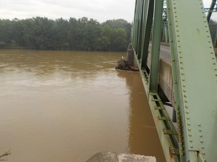
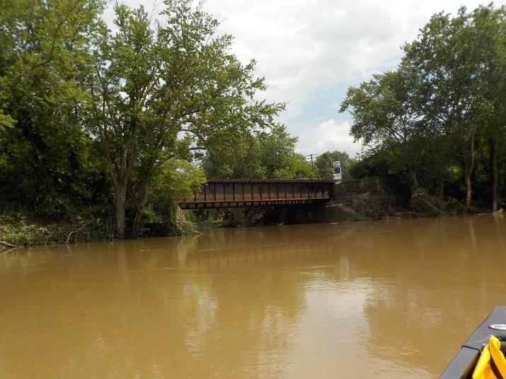
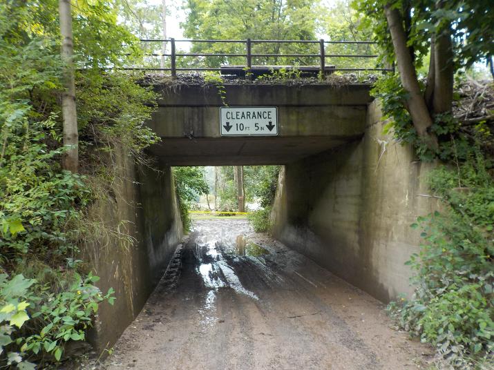
A couple of miles upriver of the Endless Mountains Outfitters is the Wyalusing New Albany road bridge that connects routes 6 and 187. I stopped there to see what the river looked like. Note the debris piled up against the bridge support. At this point I felt I could handle the river and although a little apprehensive I decided that I would go thru with it. I telephoned my brother and told him I would paddle down to Meshoppen.
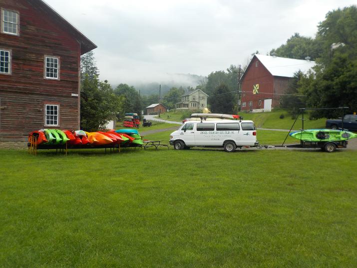
The Endless Mountains Outfitters kayak rental and river access. I parked my car, took down the kayak from the roof and dragged down to the ramp. The ramp was steep and the ground saturated from the rain and very slippery. I put my gear in the boat and tried to get in without getting my feet wet. That was a mistake because I created a high center of gravity and the boat capsized dumping me and my gear in the river. My drybag stayed in the boat because I had secured it, but my spare paddle and cooler where floating away. I quickly grabbed the cooler and one half of the spare paddle. The other paddle half slowly drifted away from my reach and I would have had to swim after it to get it. I decided to not go after it.
It took me about 10 to 15 minutes to get the water out of the boat and I was finally able to set out at 9:50 am.
The EMO river access is located in a fairly protected area. Directly across from it is an island and the main portion of the river is on the other side of the island. Therefore, the current was relatively slow at the boat ramp. After a few minutes of paddling I caught up to the paddle half and was able to grab it. The quality of the next few photos are not very good because my camera lens was foggy due to the immersion from when I fell in the river.
That day was a warm August day and it did not matter that I was soaked. But if the mishap had happened in the Spring or Fall when the temperatures are much cooler I would have to abandon the mission. I would have to change into my spare clothing (that I keep in my dry bag) and that would mean that I would not have any dry clothing in case of another emergency.
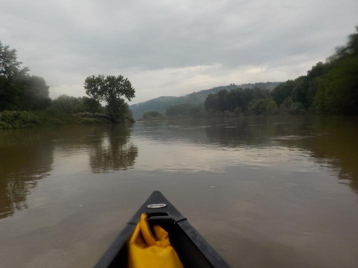
Soon the side branch on which I set out rejoined the main portion of the river and the current picked up considerably.

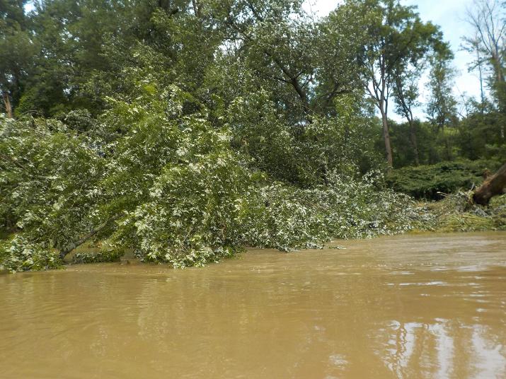
A fallen tree. this scene was repeated many times. The river overflowed its normal bank and supersaturated the ground. The roots don't anchor as well in saturated ground and a good gust is enough to topple many into the river. The day of my paddle was a calm day, but I made sure to stay clear of the bank to avoid one of them falling on me.
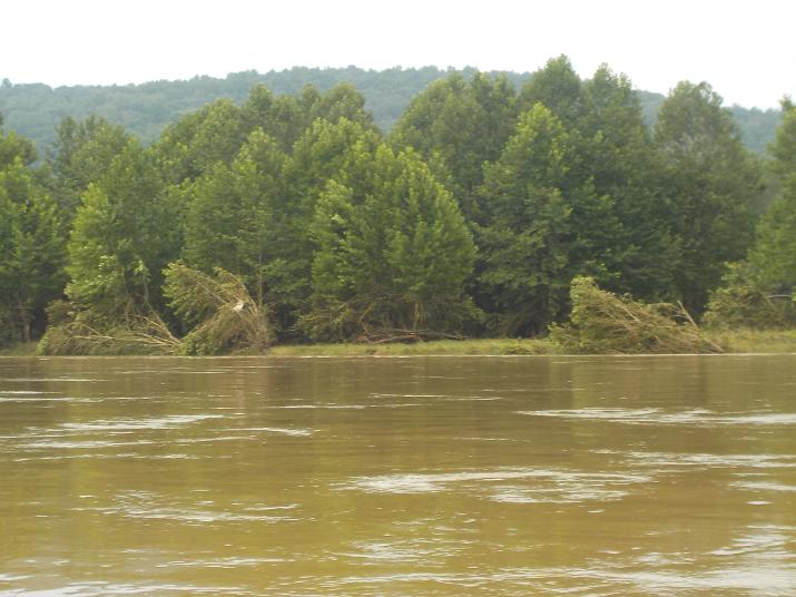
Trees bent by the river when it crested the day before.
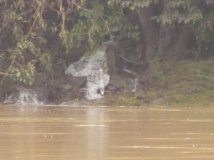
A Blue Heron on alert by a stream emptying into the river. I surmise that it expects something eatable will sooner or later wash down.
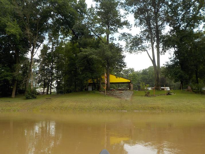
The first important landmark; The Endless Mountain campground. I reached it one hour after setting off . According to my Google Earth calculations this spot is 8.7 miles from my starting point at Endless Mountains Oufitters. This means that for this hour I traveled at 8.7 miles per hour.
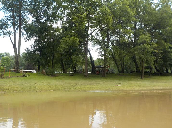
Another photo of the Endless Mountains Campground
Another large tree claimed by the flood
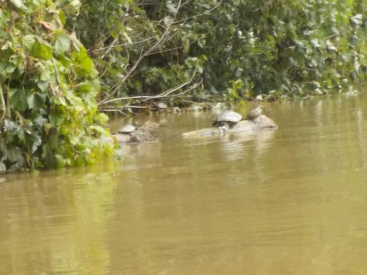
Turtles trying to warm themselves on a log. I see turtles often, and usually they dive in the water as I near. But these turtles let me get so close that I could have reached out and grabbed one. Turtles, like all reptiles cannot regulate their body heat and must either stay in the sun or get out of the sun to warm up and cool down. The last few days had been rainy and sunless, and on this particular day and time it was still cloudy. My guess is that these turtles must have been on the verge of hypothermia and could not react fast enough. The sun did come out that day and I'm sure the turtles appreciated it.
At 11:05 the Church St. bridge in Laceyville PA comes into view. I pass under the bridge at 11:15. The bridge is 9.5 miles from my starting point at Sugar Run. It took me 1 hour and 25 minutes to get to the bridge.
Note the toppled tree in the back. Not sure if the wind blew it over or if the water actually reached that far when the river crested.
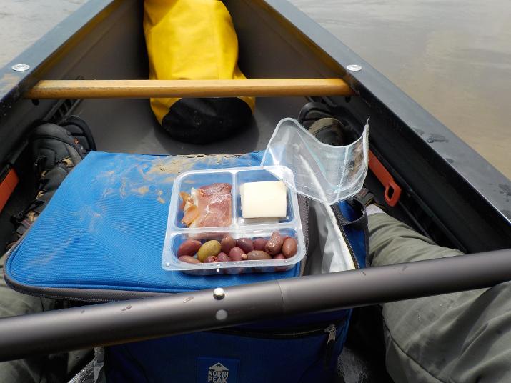
At 12:20 I decided to eat my lunch. I usually try to look for a comfortable place to get out of the river, stretch my legs, relax and try to make sense of my notes. But, the shore did not look good(too muddy) and I just let the boat drift while I ate and rested.
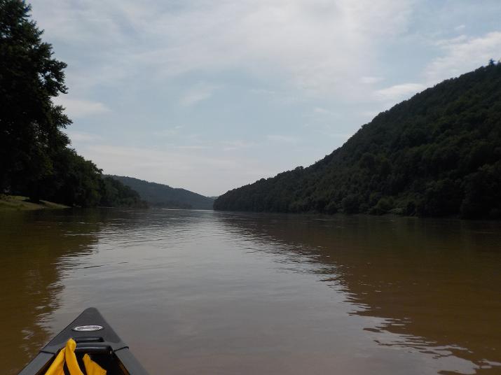
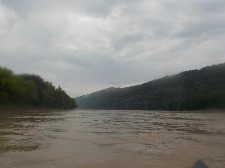
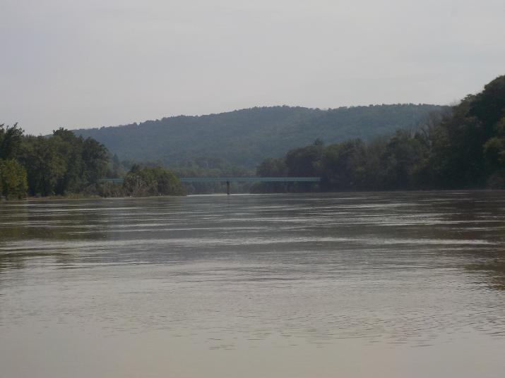
Just a nice down-river view
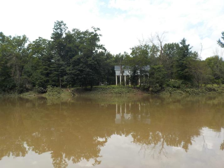
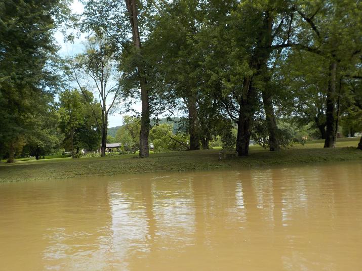
I passed by this house at 12:38. The high stilts keep it wellabove the flood. A good landmark for this section as there isn't another house like it. Looks pretty weird, but certainly functional.
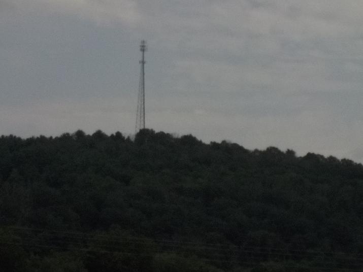
Another good landmark. I passed this cell tower at 12:56
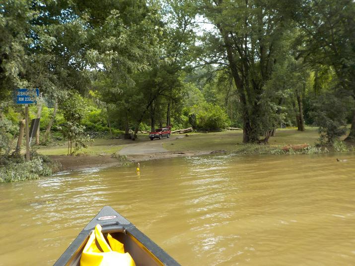
Almost there! This railroad trestle is just before the Meshoppen boat ramp. The boat ramp is very easy to miss because it is hidden by the vegetation growing on a sand bar right in front of it. From this point you cannot see the boat ramp and if you just look downstream you will pass right by it. I studied the area on Google Earth and knew that the ramp was right after the trestle. I reached this spot at 1:00
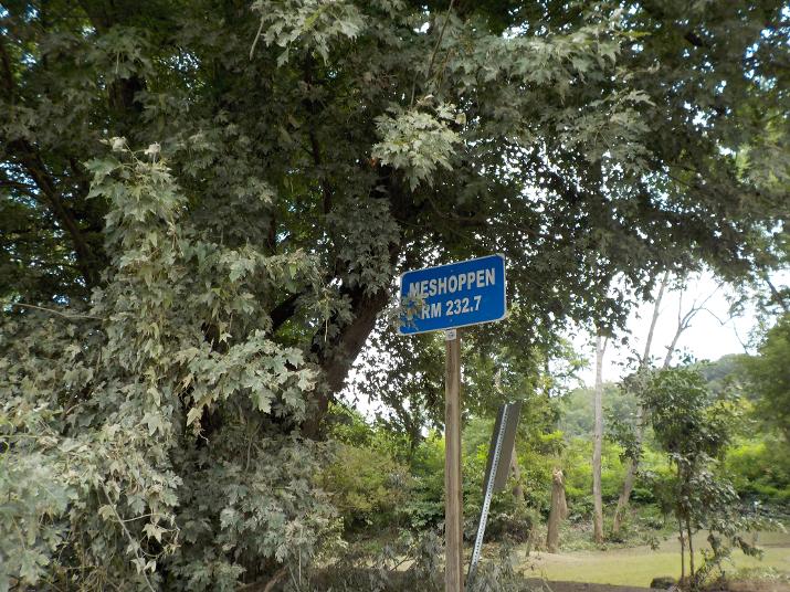
I took this photo of the Meshoppen river miles sign at 1:03, Just 2 minutes after I took the photo of the railroad trestle.
The Meshoppen PA boat ramp. I paddled to the ramp and when I stepped out of the boat my right leg sank halfway to my knee into a very fine silt. I quickly sat back down into the boat, one leg in the mud the other in the boat. A few years ago there was an incident in my town in Massachusetts. A local pond had been drained for dredging and two boys wandered into it and got stuck in the fine silt. They had to be rescued by the firemen who used high pressure from their water hoses to clear the mud from around their legs. So, for a few seconds I wondered if I would be able to pull my leg out of the mud. But, then I saw that there was a person on shore (the owner of the SUV in the photo) and I decided to take a chance and step out with my other leg. I figured I could ask him to get help if I got stuck. It wasn't easy, but I was able to step out of the mud. Something to be careful of.
I introduced myself to the owner of the SUV. His name is Angelo. He and his sister own the land on either side of the boat ramp. They rent it out to people who put their campers on it. Angelo was in the process of putting up yellow tape on ether side of the paved road to keep vehicles off the supersaturated ground.
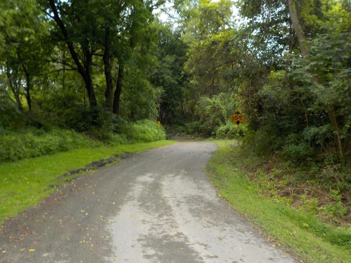
The meshoppen boat ramp is also hidden from the nearest road. This is the driveway leading away from the river...
.
The driveway leads to this trestle and finally out to Lumis road. While talking to Angelo two other guys showed up. probably early to mid 30's. They introduced themselves as Keith and John. They had come down to check the river to see if maybe they could do a little fishing. They saw me struggle with the boat (I wanted to bring out to the road so that I could be on the look out for my brother who was on his way to pick me up). They gave me a hand and I really appreciate that.
I don't know what it is about that river. Everyone I have met has been very kind. It's as if the river makes us realize that we are all brothers and sisters.