Length of this section: 34 miles
Altitude drop over this section: 167 feet (this includes a considerable drop because of the Colliers dam)
This section is about 34 miles. My friend Jessie and I paddled it over a two day period. The first day we did 22 miles and got as far as WellsBridge NY. But we could have done much more. During the first leg (from Colliersville to Oneonta: 7 miles) my paddle broke. I used one half of it like a canoe paddle and once we arrived at Oneonta I had to find a place to buy a replacement. I was directed to Adventure Outfitters in Oneonta. I purchased two paddles; one for redundancy. We set out from the Colliersville fishing access around 10:15 and It took us about 1 hour and 40 minutes to reach the dam at Oneonta, but wasted several hours to purchase the paddles and did not get back in the river until around 2:45 in the afternoon.
The next day we did the section between Wells bridge and Sidney in about 2 hours and 20 minutes.
Milestones along the way:
1) Colliersville to Oneonta: 7 miles Just under two hours of Paddling
2) Oneonta to Wells Bridge: 15 miles
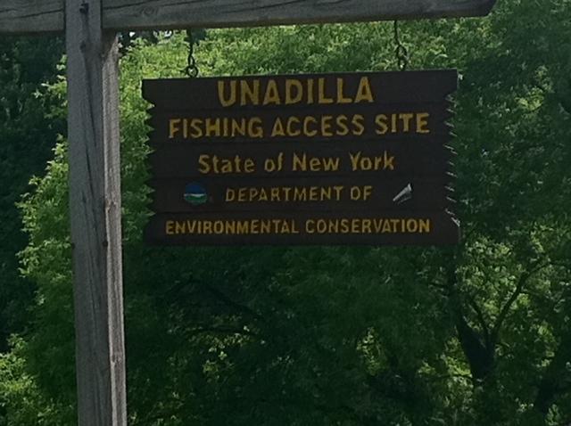
3) Wells bridge to Unadilla: 6 miles
4) Unadilla to Sidney: 6 miles
Total miles: 34
Total paddling time from Colliersville to Sidney: about 8 hours
HISTORY OF THE AREA:
Jack Brubaker's book "Down The Susquehanna To The Chesapeake" does not mention much about this area. Except for a few interesting facts. The Collier's dam that forms Goodyear lake (previous section) has had a very positive effect downstream. Over the years, especially when people where not too concerned about the environment, a great deal of phosphorus from Cooperstown's effluent and barnyard runoff entered the river. But the dam kept the phosphorous on the upstream side and the water flowing downstream of the dam has been much cleaner and this section of the river has maintained more of its natural qualities over the years. Just below the dam the river still maintains its winding, creek-like quality. But, soon it begins to look like a major river.
The river used to flow thru the city of Oneonta. But, an 1816 flood dumped massive loads of stone and mud into the river forcing it to change direction outward from the city
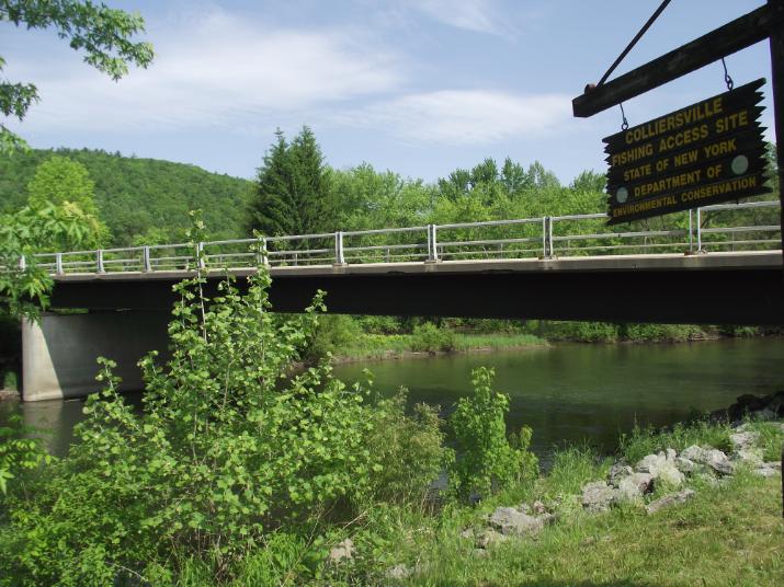
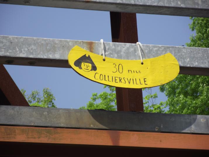
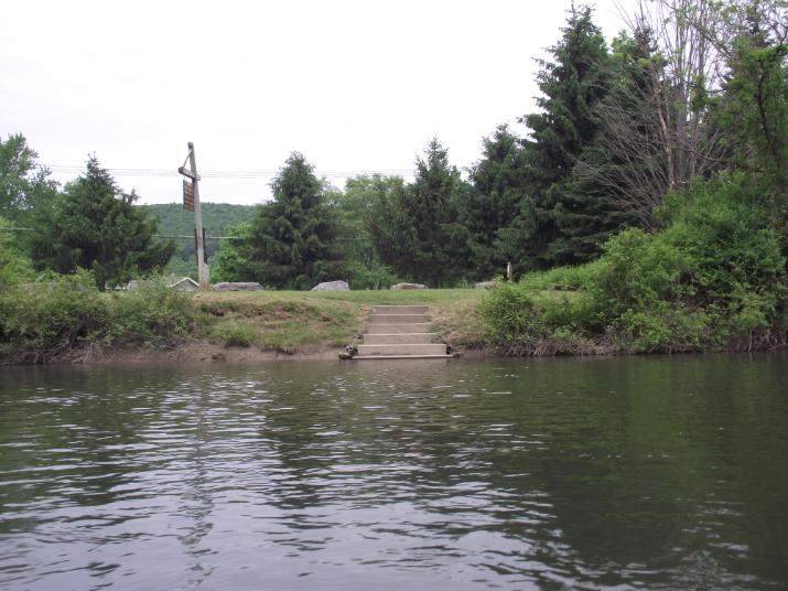
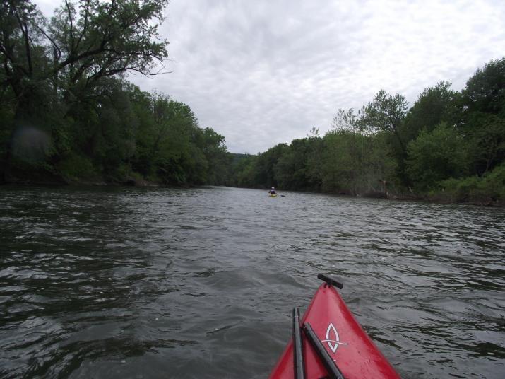
The Colliersville fishing access is located less than a quarter mile downstream from the Goodyear lake dam. This is a good place to re-enter the river or leave your car. The river moves pretty swiftly in this area. mix of fast moving and calm water. It's a nice section as you get to experience some rapids.
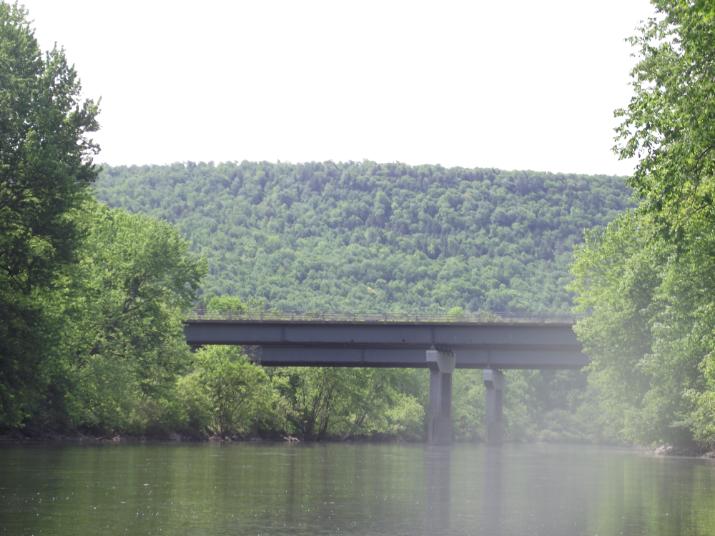
It takes only a few minutes to reach the first bridge
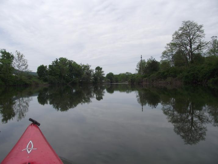
WARNING: my videos tend to be rapid-centric because they are more fun to watch. but the truth is that the majority of the time on the Susquehanna is spent paddling thru flat water.
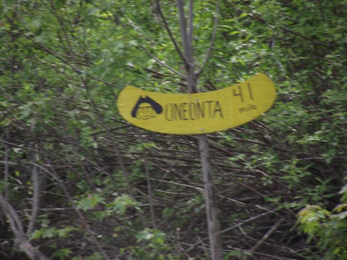
41 mile marker. reached 20 minutes after leaving Oneonta
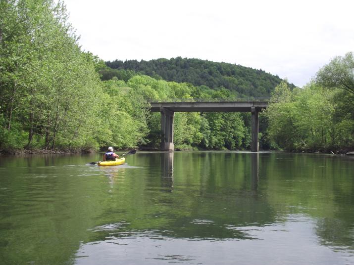
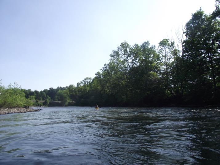
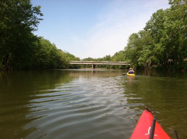
This is the second bridge downriver from Oneonta. reached 20 minutes after setting off from Oneonta. My friend Jessie is in the yellow kayak. I was concerned if she could keep up with me, but it turned out that she pushed ahead of me most of the way and after stopping to take pictures I would have an awful time trying to catch up. I attributed this to the fact that I weigh a lot more than she and her kayak sits higher in the water and does not have to work as hard. What do you think? :-)
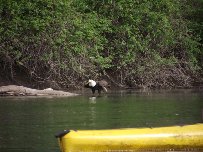
We spotted our first Bald eagle about 40 minutes after setting off from Oneonta. From then on we saw several. at least three or four different ones before reaching Wells Bridge. Most of them would fly off to a tree further down streem as we approached, but this one let us get close (within about 50 yards). It appears that this one was feeding on a dead fish or some other carrion. I know it did not kill it as I saw it land and then just walk over to it.
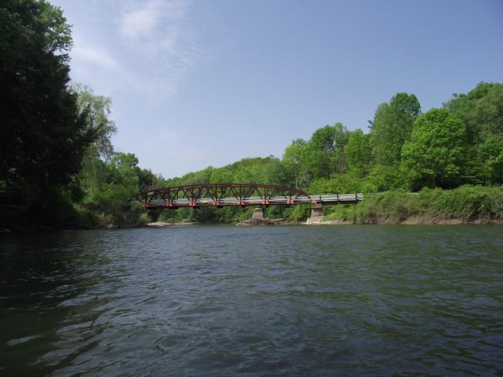
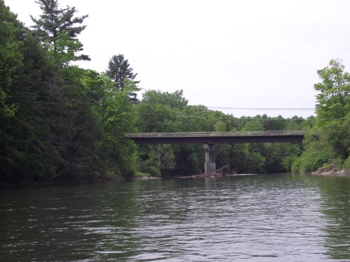
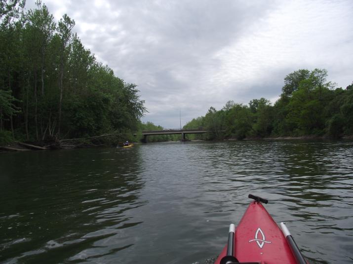
4th bridge south of Oneonta. reached about 1 hour 10 minutes after setting off from Oneonta.
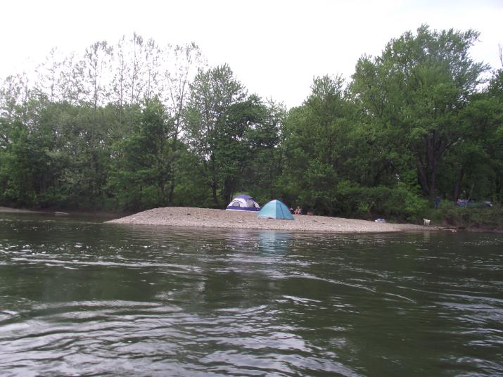
Due to it being Memorial day weekend there was a lot of activity on the river. we saw many party tents set up on private property along the river. Here are two tents set up on a beach.
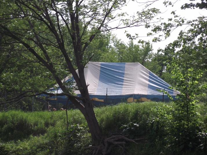
Party tent. saw several that day.
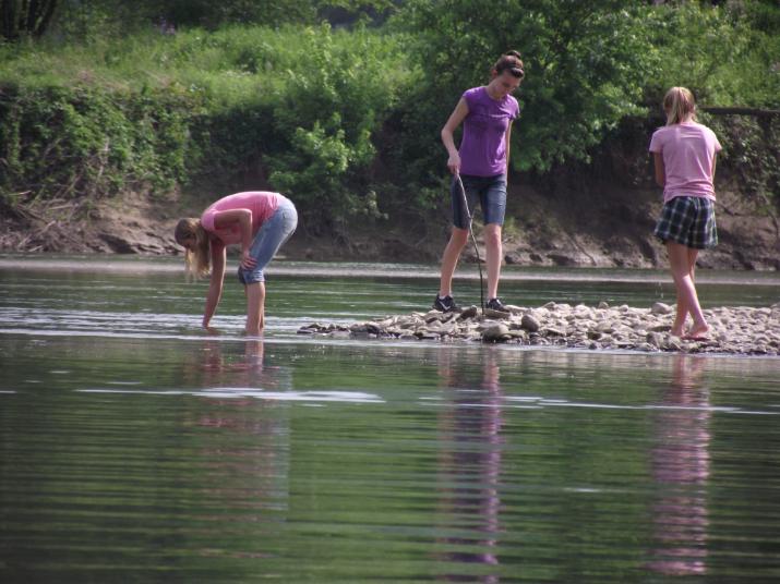
Kids catching crayfish.
5th bridge. Reached 2 hours and 15 minutes after leaving Oneonta
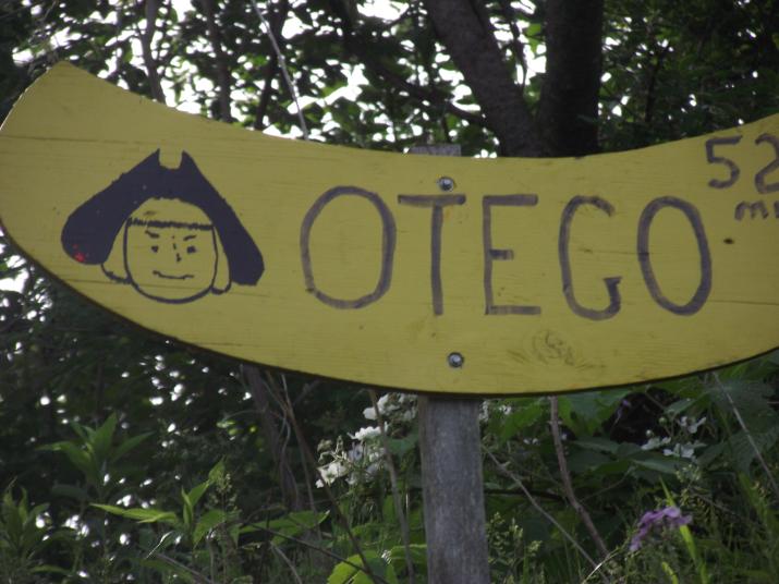
52 mile mark (Otego NY). Reached about 2 hours and 15 minutes after leaving Oneonta
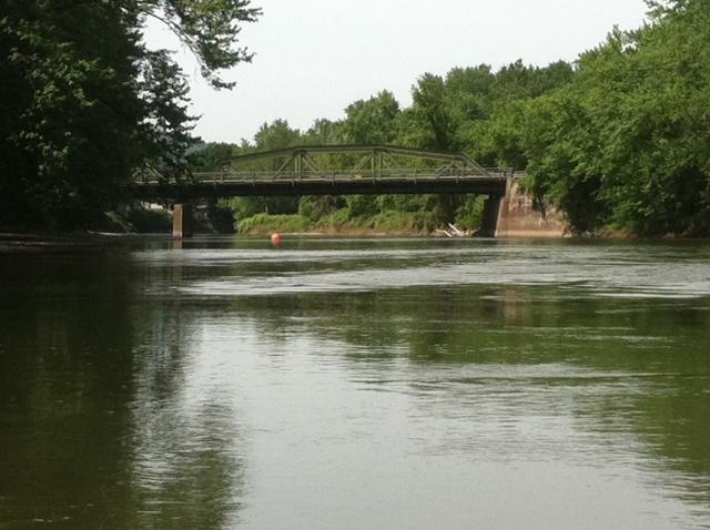
The orange float is one of several relay markers. The relay race is held on the Sunday of labor day weekend, The big race is held on Memorial day.
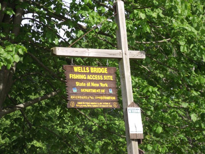
Wells Bridge fishing access. this is a good exit or entrance point. I did not know of it and did not use it as a shuttle point. Instead we used the bridge at Wells bridge; further down stream. We reached this point 2 hours and 40 minutes after leaving Oneonta.
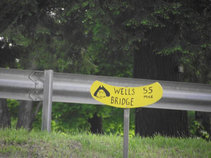
55 mile marker. Reached 3 hours and 20 minutes after leaving Oneonta
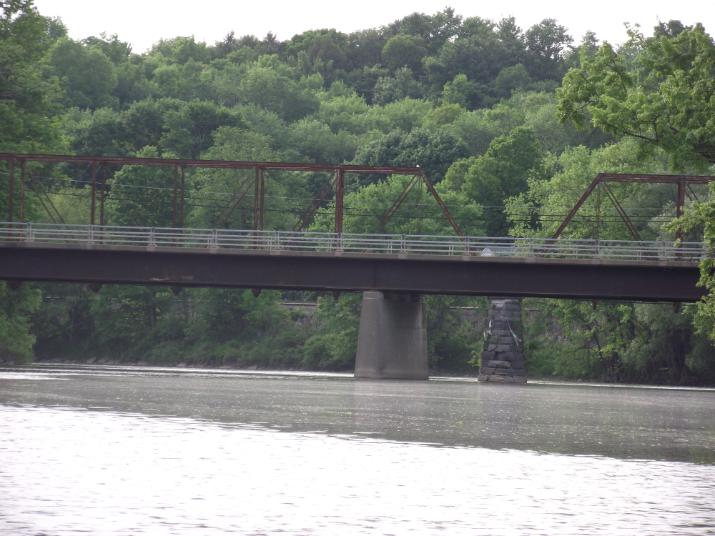
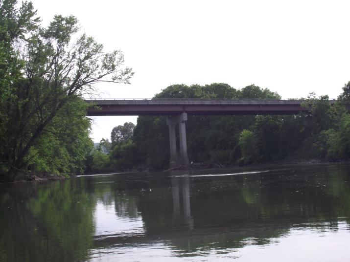
Finally! the bridge at Wells Bridge. this is where we left one of the cars and it is where we ended for that day. we reached this point at 6:09pm. 3 hours and 24 minutes after setting off from Oneonta
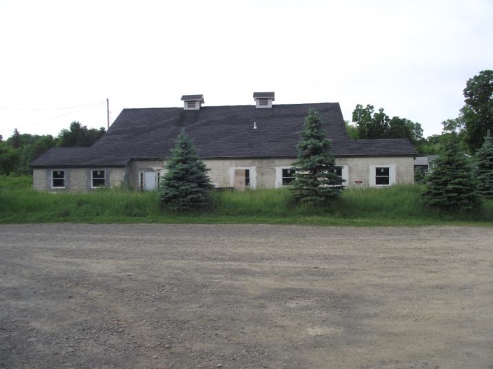
The old creamery at the bridge (Wells Bridge). Located on the right bank of the river. this is where we left one of the shuttle cars. there is a boat ramp there and easy access to the river.
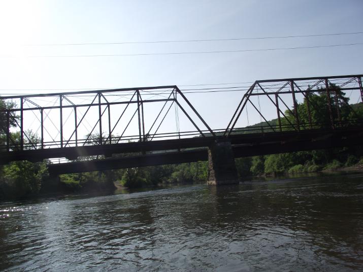
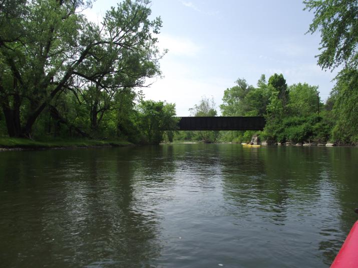
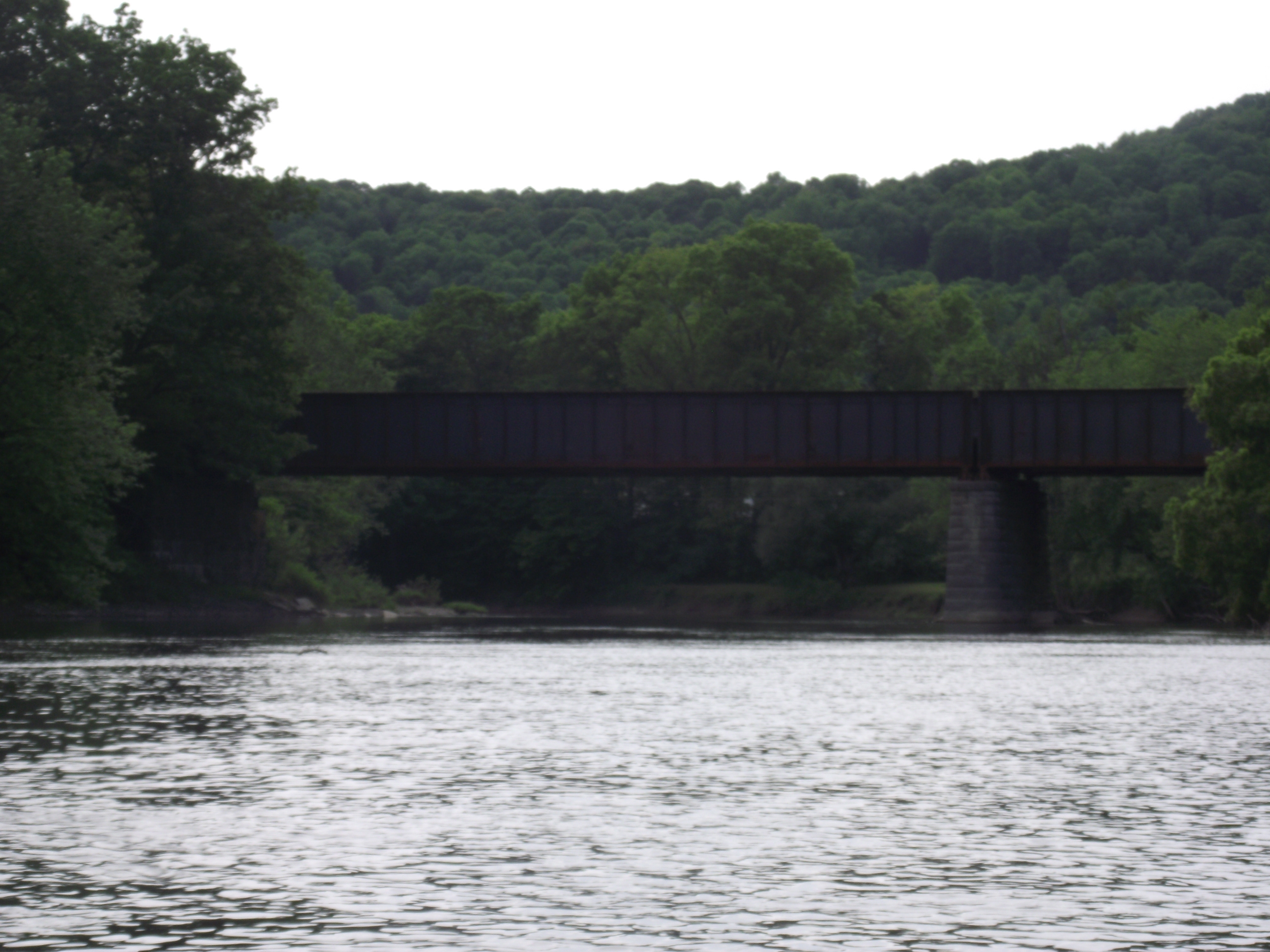
The next morning we set out from Wells Bridge at 8:45. This is a view from down stream of the bridges (there are two at Wells Bridge. one immediately after the other. The first one is a car bridge, the second is for railroad.

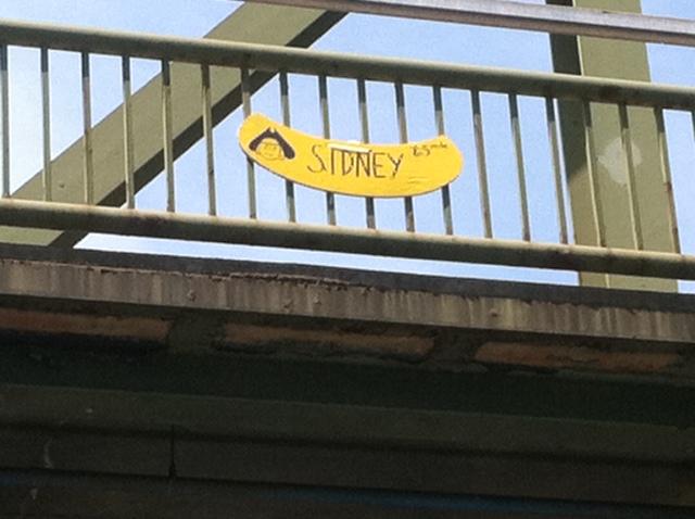
Sidney is a great stopping point. There is a large parking lot on the left side of the river and it is a safe place to leave your car. There is a drug store a shot distance from the bridge(CVS or some other major chain) where you can purchase drinks, snacks, etc.