Lenght of this section:17 miles
Altitude drop over this section: 32 feet
This section is about 17 miles. I paddled it on October 5, 2017. The day before, my brother Frank who lives in PA and had recently driven over the Susquehanna in Towanda PA told me that there was hardly any water on the river. He said that the river bed was practically dry and doubt it that I would be able to paddle on it. I knew, however that that particular area is notorious for low water levels, and it is not indicative of the rest of the river. There are places along the river where the topography is such that the river bed widens and the water is spread thin, and during a drought period (as was being experienced at the time in PA and NY) those particularly low water areas would look as if there is no water running on the river. But, among the rocks the water trickles and flows thru until the topography changes, the river bed narrows and the river deepens once again.
That morning I left my kayak at the Apalachin NY river access (just off of route 17 on Valley view Drive) and drove to the Nichols NY river access area on River Road. I activated my Uber app and searched for a driver. One appeared briefly and then disappeared.I tried several times and a driver could not be found in the area. I gave up and looked up taxi companies in the area and found a few in Owego (half way from Apalachin). But before I dialed the number I decided to try Uber again and a driver appeared. I clicked on it and the car was on its way to me. Only 8 minutes away, so I quickly grabbed my stuff and headed for the road (about a two minute walk from the parking area). By the time I got to the road I could see a car slowing down; it was Uber. I was lucky. The driver, Dana,told me that he does not live in the area. He happened to be driving on route 17 on his was to a construction job site in Elmira NY when I appeared on his screen.
I got on the river at 8:45 and arrived at the Nichols river access at 2:30, almost 6 hours later. This section would have been a lot more fun if the water level was higher. The level was as low as I have ever seen it on the Susquehanna. Deep enough for paddling most of the time, but there was hardly any current and it was as if I was paddling on a lake punctuated from time to time with bottom dragging, and on three occasions I had to get out of the kayak and walk it, each time for a hundred feet or so until I could reach deeper water and get back in. Also, in this section route 17 follows the river on the left bank and most of the time I could hear the cacophony of cars and semis noisily rolling by. Part of the experience of being alone on the river is the sound of silence. It is often so quiet that you can hear the beatings of a small bird's wings as you drift under a tree. Some people never get to experience this type of quiet because we live in environments filled with white noise from our appliances, traffic, etc. But in this section there was no quiet solitude. Noisy solitude just isn't the same :-).
One very interesting thing about this section is the 112 acre Hiawatha island.It is the largest island in the Susquehanna river within NY state.In the 1870's a hotel was built on it and the island almost completely cleared of trees. At first the hotel was a 2 story structure, but later a 3rd and 4th floor were added along with a ballroom for dancing and dining. It was a popular destination for river day trips from Owego to Binghamton. The hotel closed in 1895 and the structure became the home of the Goodrich family until 1930. After that most of the buildings were dismantled or burned down and today only two buildings remain. One stores maintenance equipment and the other is an open structure. I had thought to stop and explore the island. But, when I realized how big it was I decided I would explore it some other day when I could dedicate more time. There is a river access on the left bank of the river on Marshland road in Apalachin.
More soon.
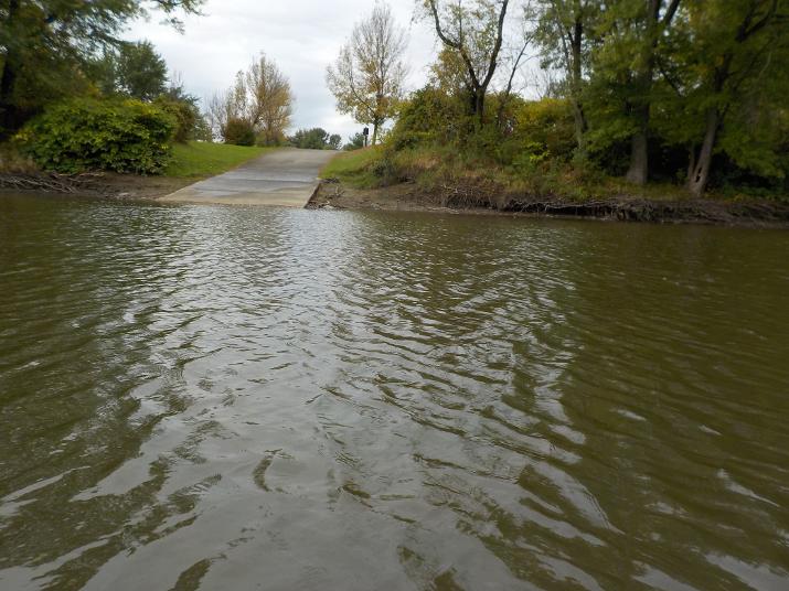
Left the Apalachin river access area at 8:30
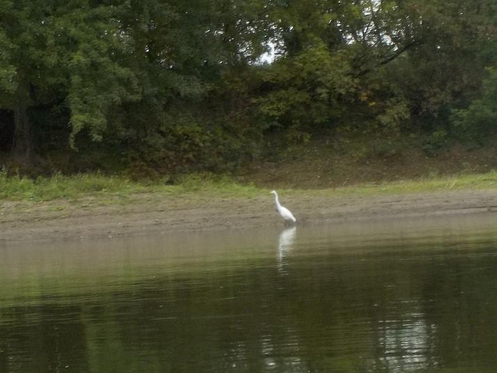
A White Egret hunting along the shore. Most likely on its way to Florida or someplace warm for the winter.
I took this photo at 9:57. one and one half hours after leaving the Apalachin river access area. I dont know what this place is. There is a building behind the trees (next photo)
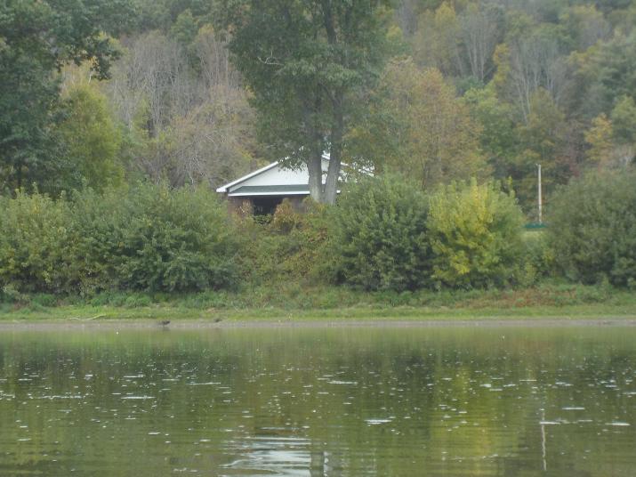
The building does not appear to be a house. looks more like a public building, perhaps a park.
at 10:00 am Hiawatha island comes into view. 1.5 hours into the trip. Notice that it is now fully treed. In the late 1800's it was totally cleared when they build the hotel. Nature will usually reclaim the land once human activities end. But, not in all places. There are many examples all over the world where once the damage occurs nature can't restore to the original conditions. One example is Easter Island. Once a forested island, but now there is hardly a tree to be found.
at 10:10 I reach Hiawatha and paddle along the western side channel. Hiawatha is on the right side of the shot.

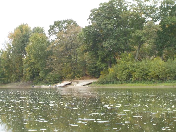
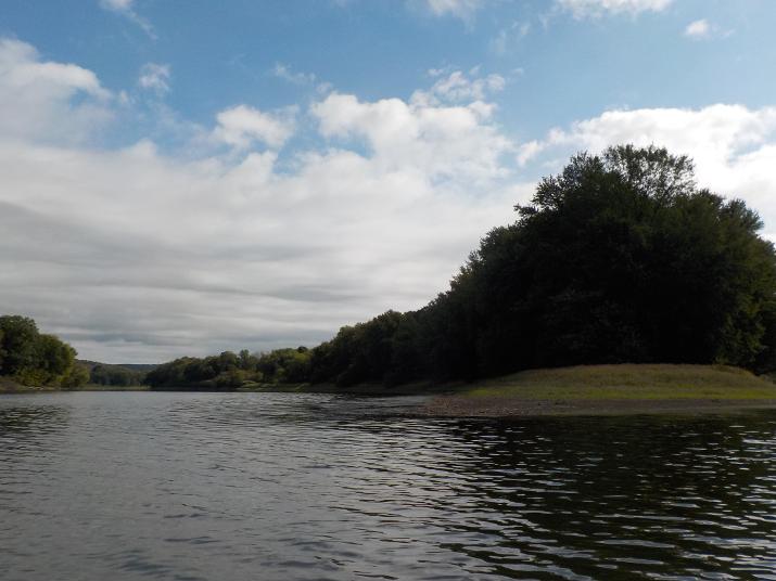
The river access on Marshland Rd. in Apalachin NY. Hiawatha is directly across. My plan is to return to this point and cross over to Hiawatha for exploration. I am told that there are old cars and other reminders of its past.
this photo shot is facing north. this is the southern tip of Hiawatha. It took me about 15 minutes to paddle the length of the island.
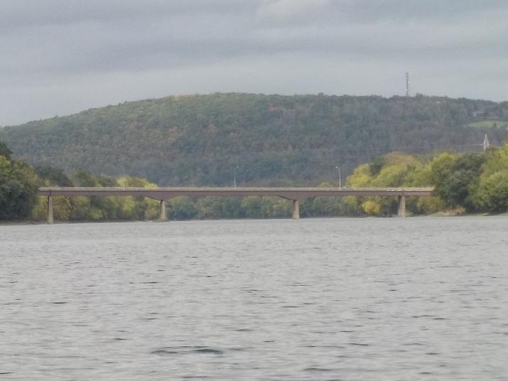
Immediately after Hiawatha island the Route 17c bridge above Owego NY came into view.
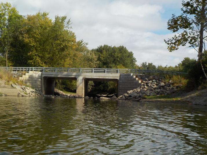
Just before the Route 17c bridge Barnes Creek joins the Susquehanna. This small bridge is on Hickories park rd; the road follows the Susquehanna on the right bank (eastern side). I reached this point at 10:50
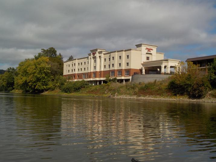
This Hampton Inn and a Red Roof next door are located just north of Owego NY and just 10 minutes paddling south of the Route 17c bridge. I think this is a great place to target for an overnight stay. There are restaurants in the hotels and a grocery store across the street. The River Rock Diner is just a short walk down river from the Hampton Inn.
At 11:20, almost 3 hours after leaving Apalachin, the Route 96 bridge in Owego comes into view.
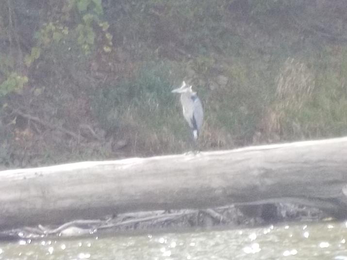
A Blue Heron resting on a fallen tree. 20 years ago Blue Herons were not that common. Seeing one was something to talk about, but now you can see them almost on any body of water. I live on a lake in Massachusetts, and this year for the first time I saw a fledgling. And, that means they are nesting.
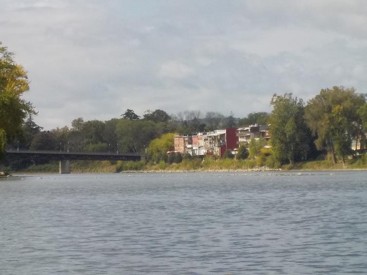
Nearing the Route 96 bridge at Owego at 12:00. I took a 20 minute lunch break just before this point. which means it took me about 3 hours of paddling to get here. I think that if the water level was higher it would take much less time. also, I often stop paddling to take photos and make notes. I think that if I were to be focused on just paddling I would make it to this point in considerable less time. Owego NY is approximately the half way point from Apalachin to Nichols.
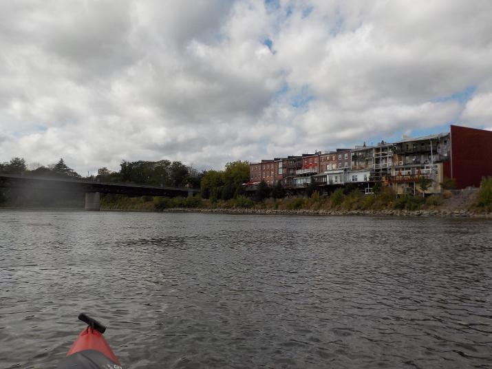
An observation about the buildings in the picture: These buildings can be seen from Route 17. I have traveled that road for at least the last 40 years, and I recall a time when they were in really bad shape. I don't think I am exaggerating if I say that it was nothing more than a slum along the river. But, what an enviable location! It is clear now that the area has been gentrified and the buildings are spruced up. There is even a Mexican restaurant with a patio with tables and umbrellas; nice setting to have a margherita.
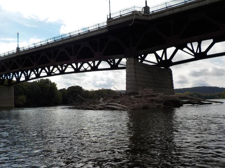
Going under the Route 96 bridge at Owego. Notice the fallen trees and other debris piled up against the bridge support from past storms. You definitely want to avoid being on the river when it is in flood. It is very scary to see the churning water carrying with it whole trees tumbling from time to time as they are swept down river.
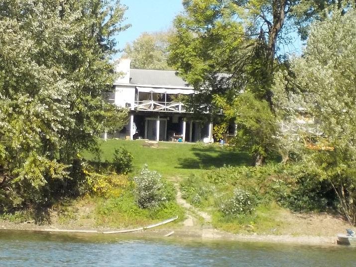
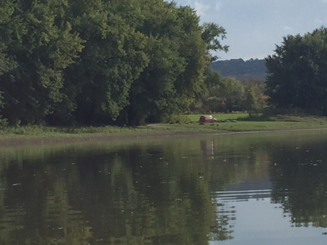
I reached this house at 12:51. About 50 minutes down river of Owego.
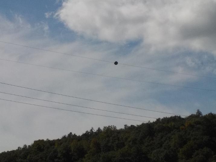
When I reached these power lines going across the river, I checked my iphone GPS and noticed that I was exactly half way between Owego and Nichols. It was 1:25. About 1 hour and 25 minutes after going under the route 96 bridge in Owego.
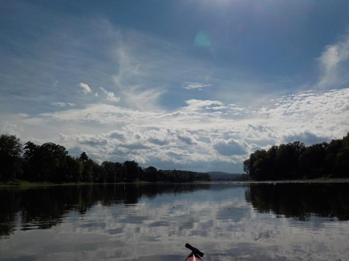
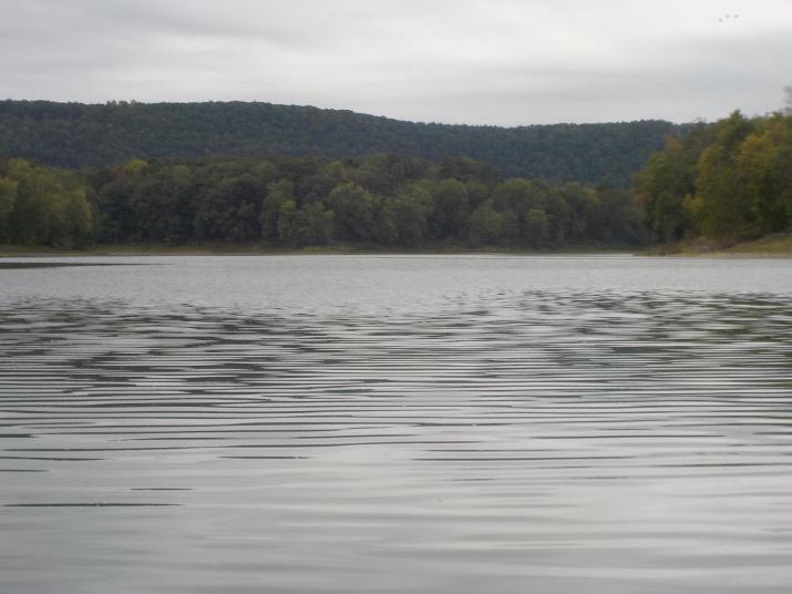
Just a nice view. This is the last picture I took with my camera as the battery ran dead.
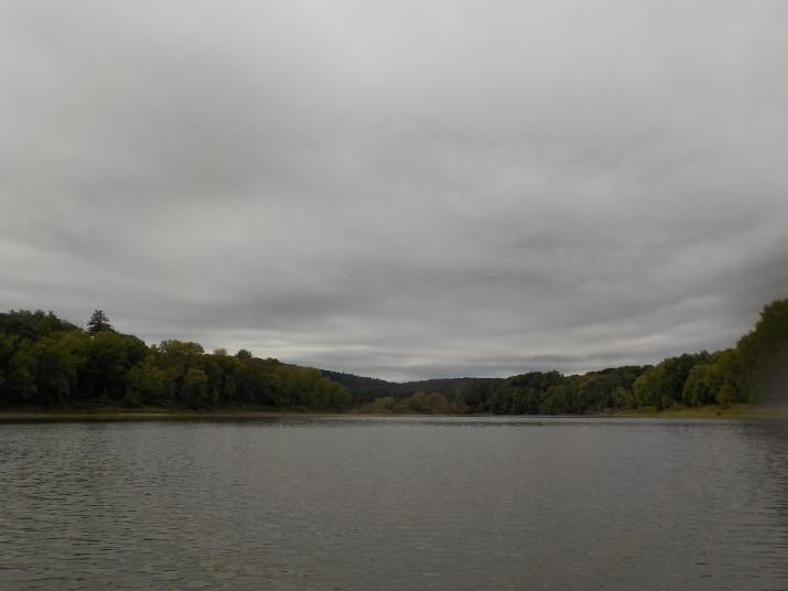
Approaching the Nichols NY river access area.(my final destination for that day). This pic was taken at 2:30. 6 hours after leaving the River access area at Apalachin.
Its always a good feeling to see my car waiting for me.
So, this brings me to the farthest point I have reached on the river. I estimate the distance traveled from Cooperstown NY to here (Nichols NY) is 150 miles. I doubt if I will do any additional sections for the rest of this year; although I am tempted to do one short section (about 10 miles from Nichols NY to Sayre PA. But the problem with kayaking is that it is difficult to avoid getting wet. Its one thing to be wet in summer, but another in the autumn when temperatures can be pretty cold. Of course, I always bring extra clothing that I keep in a dry bag. But, what happens if I have more than one accident? I think it's better to wait until spring.