Cooperstown, NY to Portlandville, NY
Length of this section: 21 miles
Altitude drop over this section: 48 feet
If you drive south from Cooperstown on Route 28 you will reach Portlandville in only 13 miles. I traced the path of the river on Google Earth and it showed 21.46 miles to the Iron bridge that crosses the Susquehanna at Portlandville. This is because in this section the river makes many turns, sometime almost doubling back on itself.
HISTORY OF THE AREA: I will be adding a little bit of history to each section as time permits. This section has a lot of history and I recommend checking out Jack Brubaker's book "Down The Susquehanna To The Chesapeake". This book was given to me by my wife when I first told her that I wanted to undertake this project. I found it to be very informative and a source of inspiration.I am using this book as the source for the historical info contained on this site. I am hopeful that I can do justice to the book.
Most people think that Cooperstown was named for James Fenimore Cooper, the famous 19th century author of "The last of the Mohicans", "Deerslayer" and several others known collectively as the Leatherstocking Tales. But, it was his father William Cooper who founded the town in 1787 and for whom it is named. This section of the river has a lot of history and I advise to do some researching on your own as I think you will find it very interesting. The one single event that I find to be the most interesting occurred during the summer of 1779, during the American Revolutionary War. The Iroquois in upstate NY and PA joined the side of the British, and George Washington ordered what is known as the Sullivan-Clinton expedition against them.
General Sullivan was ordered to move his force from Easton PA to central PA and go up the Susquehanna to Tioga Between Nichols NY and Owego NY). General Clinton was ordered to move his force from Albany along the Mohawk river and cross to Otsego lake (Cooperstown and the start of the northern branch of the Susquehanna; where I began my trip). From there he was to bring his force of 1800 men and 220 bateaux (a flat bottomed river boat that was used in eastern and central North America) down the Susquehanna and meet up with Sullivan. The beginning of the Susquehanna (and most of the Northern branch) was too shallow for even the flat bottomed bateaux, especially laden with supplies. So, General Clinton had a dam constructed at the start of the Susquehanna, and lake Otsego rose by approximately 4' . Then, five weeks later on August 8 they broke the dam and at the peak of the flood, early the next morning, the bateaux each manned by 3 soldiers floated down the river for 30 miles. The rest of the soldiers marched alongside the river at half the speed. The flood swelled the North Branch for 100 miles all the way to Binghamton. Iroquois villagers along the Susquehanna were terrified at the sudden change in water level at mid summer and demoralized as they saw the approaching American soldiers.
On August 22 Clinton's forces joined Sullivan's and together they comprised a force of 5,000 men that laid waste to village after village in the action known as Sullivan's march.
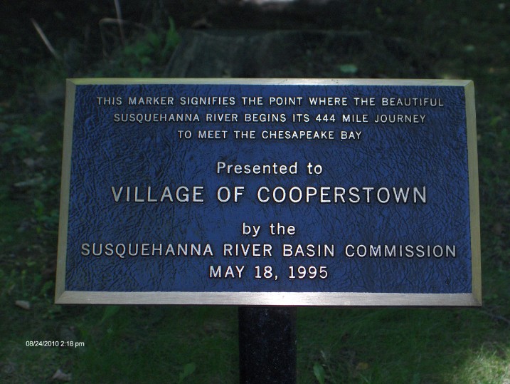
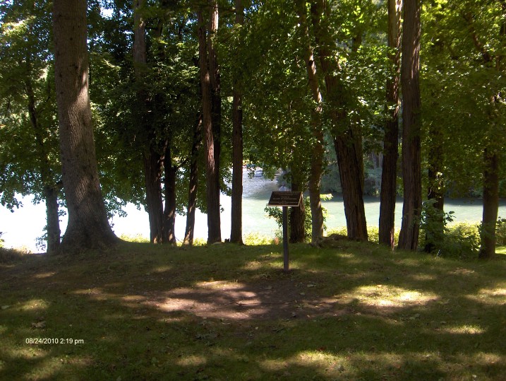
This marker can be found at Council Rock park where lake Otsego ends and the Susquehanna begins.
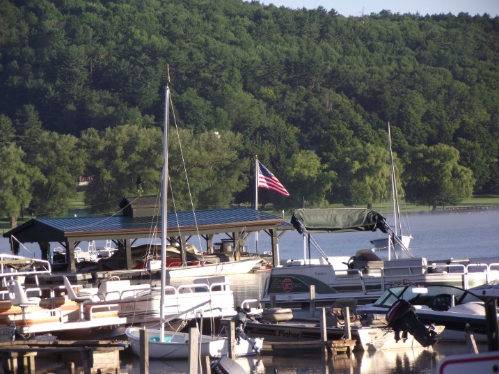
The Marina at Cooperstown NY (home of the National Baseball Hall Of Fame) on lake Otsego
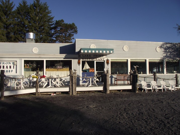
I tried to have breakfast at the marina restaurant around 6:30 but the restaurant (pictured above) was not opened. I found a small diner in downtown Cooperstown and ate there before setting out . I recommend it. But, I'm sorry to say that I cannot remember the name. But you can't miss it. It looks like a little diner, and it's on the opposite side of the street as the Hall Of Fame, but down the hill about two blocks.
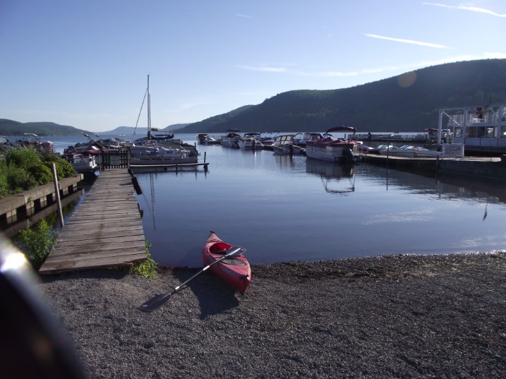
I set out from Cooperstown marina at 7:30am: Mile 0
It takes only about 5 minutes to reach Council Rock Park where a few benches
line the right side of the bank. This is the spot where the lake turns into
river. Here the river is only about 15 feet wide. It flows out of lake Otsego at
the lake's most southern point.
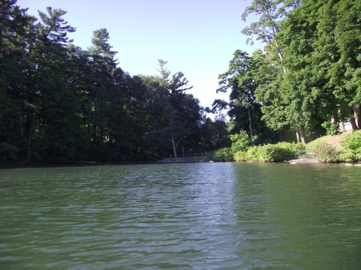
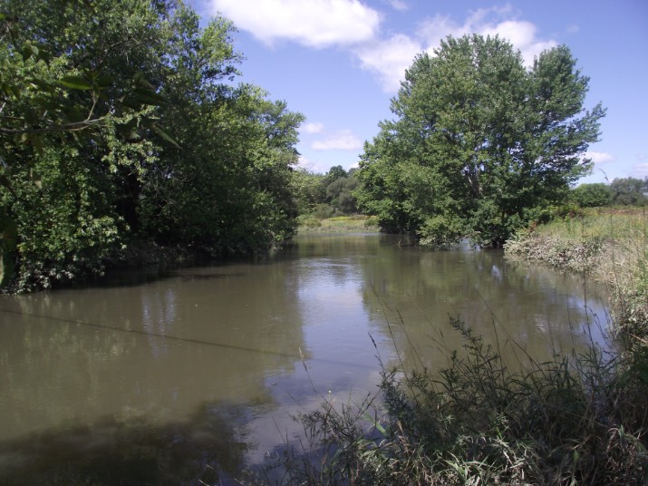
The entrance to the Susquehanna river
The headwaters of the Susquehanna river viewd from Council Rock park on River St. Cooperstown, NY : Mile .28
A view of lake Otsego from the headwaters of the Susquehanna
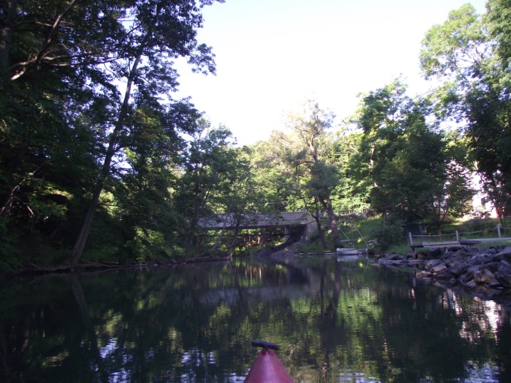
The river flows past stately houses and I reach the main street bridge at 7:37AM
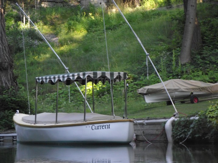
A stylish boat moored in front of a riverside home
A closer look of the Main St. bridge. The Hall of Fame is just up the street on the right side of the bridge: Mile .38
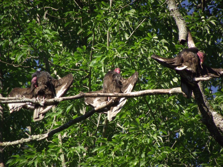
Vultures sun themselves on a tall tree along the riverbank; not a good omen
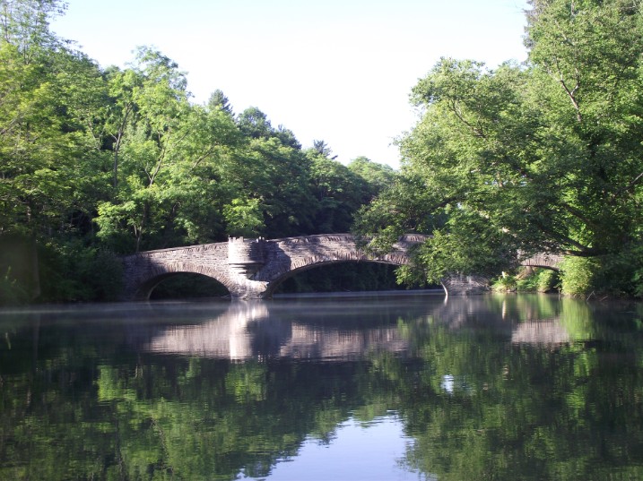
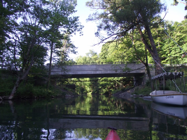
I reach the arched bridge at 7:43AM. This is a foot bridge that may be accessed from River St.(on left side of the bridge)
On the right side of the bridge there is a Native American burial ground.

A closer look at the arched bridge: Mile .56
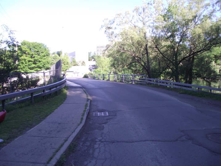
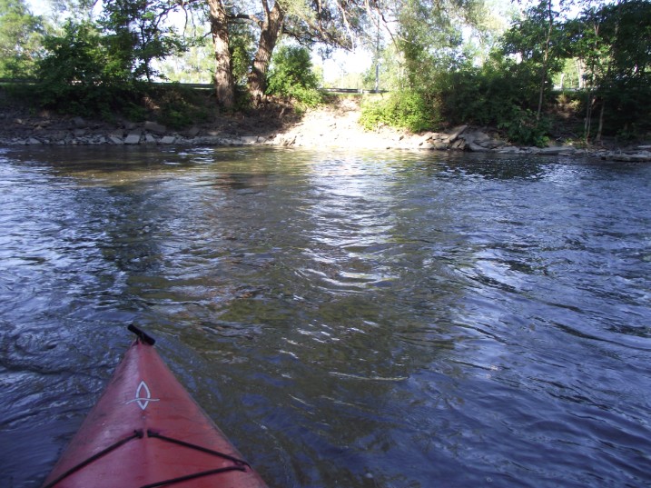
At 7:57AM I reach the first man-made obstacle on the Susquehanna; The dam at the Mill St. Bridge. A worker at the Cooperstown marina told me that many paddlers start out below the dam to avoid the portage.
A view of the dam from under the bridge. The portage is easier on the left side of the river: Mile .78
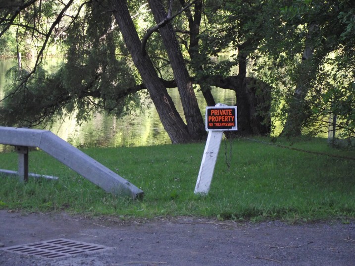
Private property signs on the road side and river side discourage paddlers to use the easier left bank for portage. But the right side is not safe. the water is deep and a high rocky, steep embankment make portage on the right side difficult and dangerous. The left side has a nice sandy beach just under the bridge and a gentle grassy slope to the road. I portaged on the left side.
A view on top of the Mill St. Bridge. The building in the background is a hospital
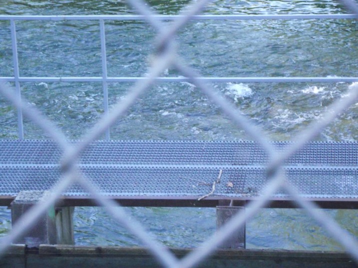
A view of the river below the dam from the Mill St. Bridge
A short foot trail leads to the downriver side of the dam
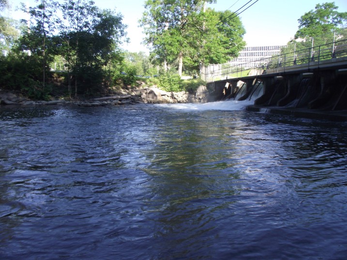
A view of the dam from the downriver side. The current speeds up.
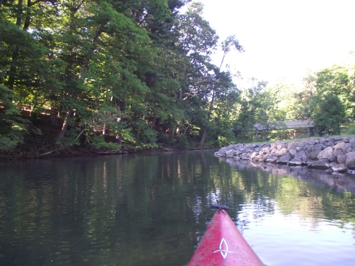
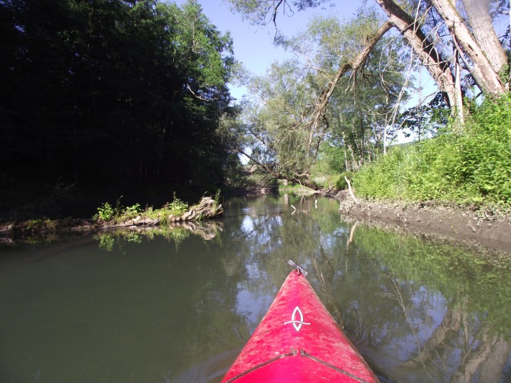
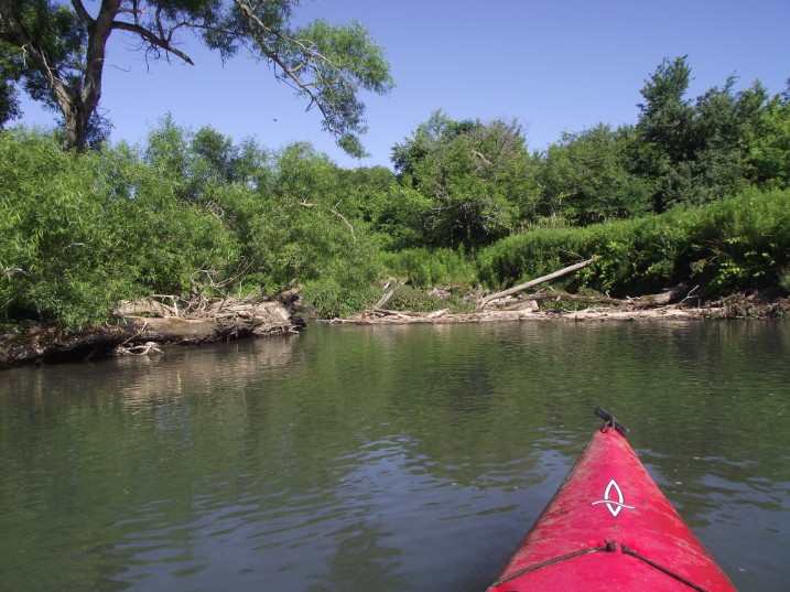
Back on the Susquehanna
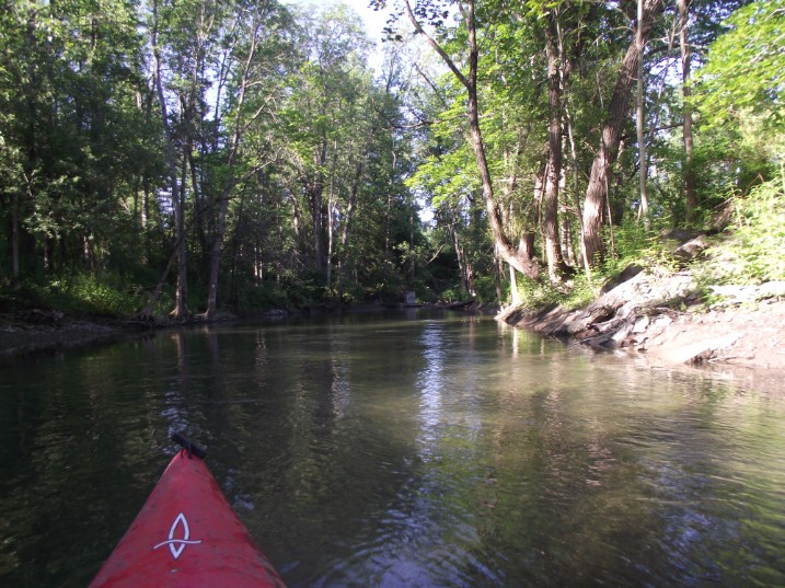
At this point the current flows at a good pace and the going is easy.
But shortly after there are several spots where fallen trees clog the river, and much time is wasted trying to weave my way thru
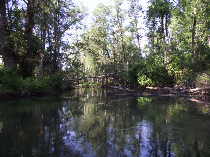
More fallen trees
Fallen trees clog the river making a small dam
I reach the fourth bridge (Rt. 52) at 8:13am. Do I have to say it? more fallen trees. Mile: 1.36
Going under the Rt. 52 Bridge. Here the current speeds up again, and It's easy paddling for a while.
A large house on the outskirts of Cooperstown.
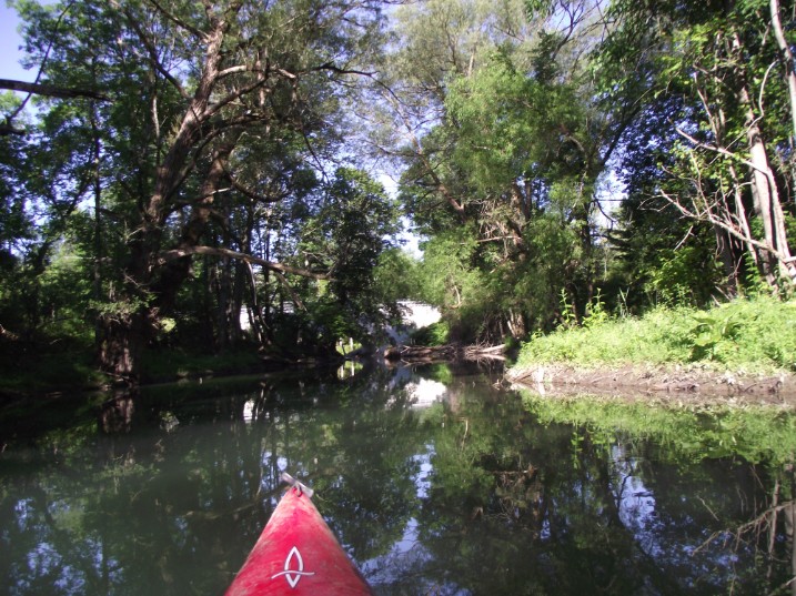
The river is pinched into a narrow deep channel. The Susquehanna has a reputation of being a shallow river. Some say that Susquehanna is a Native American phrase that means "A mile wide and a foot deep). But at places such as that pictured above the river can be deep. The right thing to do is to always wear a life vest.
This is probably in the area where a drainage point is located. There is a sign on the right side of the river that reads "Big Bend Drainage Point": Mile 2.54
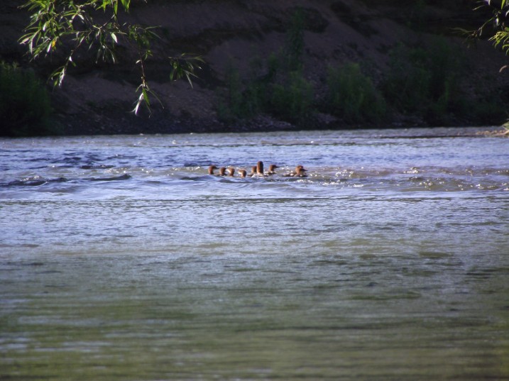
A family of some kind of aquatic bird. Smaller than a common mallard, they could be Wood Ducks. I saw a lot of wildlife during the first hour: A group of vultures, two families of ducks, 2 beavers, and a colony of muskrats. The muskrats had their homes dug on a steep side portion of the bank. It reminded me of an apartment building. As I approached several of them dove into the water. Later I saw a Doe and two fawns crossing the river in a very shallow area. I took pictures of the vultures and the ducks, but the others animals were too fast and were gone before I could reach for my camera.
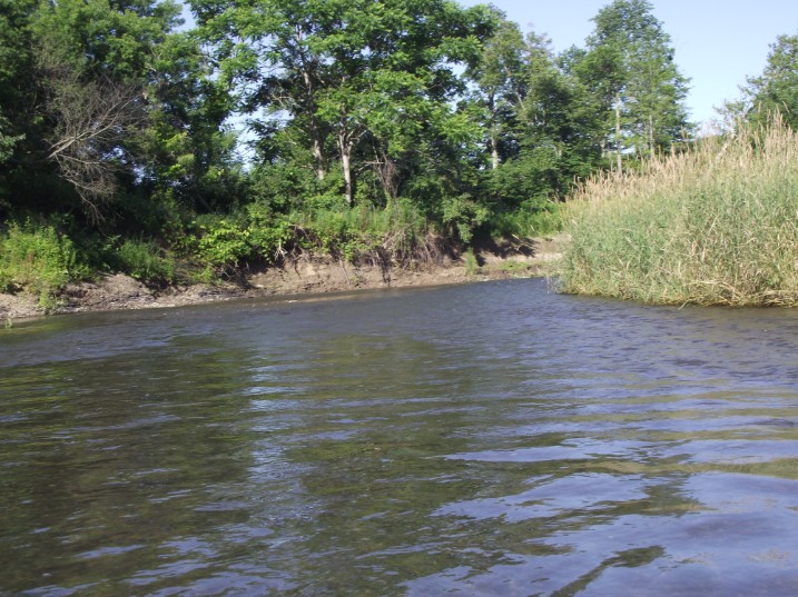
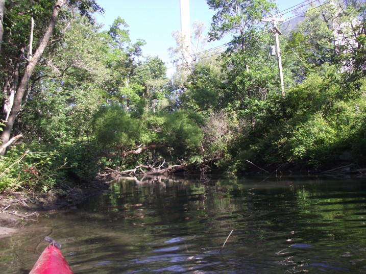
up to this point the river is shaded by trees on both sides. Now the forest starts to give way to farm land and tall grass begins to replace the trees.
The above video is not very good because I could not hold the camera as my hands were busy working the paddles to steer the kayak. Th e camera was just hanging around my neck
Another obstruction. This tree blocks the entire width. It must have fallen in a recent storm because the leaves are still green. I was able to squeeze thru on the left side.
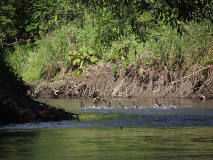
The same family of ducks. I felt bad about that. Each time I approached them they would dive underwater and swim down stream to the next bend in the river. This went on for several miles. Finally, at a point where the river widened the mother led the brood to the far right side under some brush and I kept to the far left side and was able to get past them.
A log jam. Some natural, but many others clearly show that they've been cut by chainsaw. Probably an effort to clear some of the fallen trees up stream. During heavy rain the river swells and washes the cut logs down to where the river bends.
Maybe I can squeeze thru on the left side

9:05 AM- Mile: 3.5 (the mile is a guess based on time traveled from the last known checkpoint (the Big Bend Drainage point).
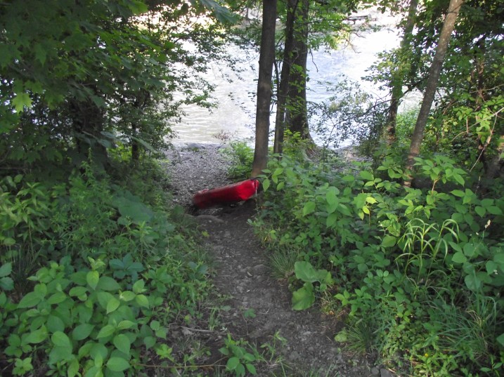
This is the last picture I was able to take on this trip. I got hung up on a log. I tried to back up but the current was too strong. I tipped over and went in the water. The water there was only about 4 feet deep and I was able to stand up. But my camera, which was hanging from my neck, was completely soaked and I could take no more pictures. Luckly the card inside survived and I was able to rescue the pictures already taken. My cell phone was in the pocked of my life jacked. As soon as I got on land I checked to see if it was working. it was, and I made a phone call to my wife to let her know that this was the last call I might be able to make and coordinated a pick up point down stream. Sure enough, the next time I tried to use the phone it would not work. It takes only a few minutes for the wet battery inside to stop working.
For my next trip I will make sure to keep the phone inside a waterproof bag. I think what would work well is to place it inside two freezer bags and keep it in a zippered pocket in your life vest. This way the phone is with you even if everything else gets washed down stream.
It was not easy to make the portage around the log jam. The right side of the river was a swamp. On the left side the bank was high and very steep. It was made up of a very slippery combination of clay and mud and I had a pretty difficult time pushing the kayak up to the top. Next time I will bring a 25 foot length of rope (maybe longer). It would have made it easier as I could have climbed up the bank and then pulled the kayak up. It was not easy to find a place where I could safely get back into the river because of the steep bank, and I had to drag the Kayak a few hundred feet until I found a manageable spot.
Since my cell phone was not working I had no way to know the time. Since then I have purchased an inexpensive water-resistant wrist watch. Also, I had planned to use my cell phone to know my location along the river. I have an app on my Blackberry called "maps". by selecting "find location" and then "where am I" the screen will display a map of the area and pinpoint the approximate location. It works very well most of the time, but sometimes (rarely) it seems to be off by a couple hundred yards. Still it's very useful.
I missed a lot of good photo ops along the way. at a point where the river was very shallow I spotted a deer and two fawns in the water close to the right bank (the water was about a foot deep in the middle). When they saw me they bounded to the other side of the river and down stream along the left bank until they disappeared around the bend.
When I came around the bend I saw the fawns at the river's edge. The mother must have been in the tall grass nearby, but the bank was too steep and slippery for the fawns to climb. I moved as far as I could to the opposite side and they watched me as I drifted closer. When I got near they started to furiously wiggle their ears at me. I can only surmise that it meant that they did not like me and wished for me to go away. Pretty much what they do to scare away pesky horse flies.
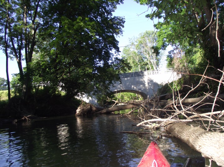
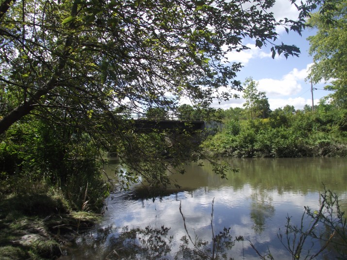
Mile: 5.5 This is where route 11C crosses the river. Just before the bridge the the Oaks creek joins the Susquehanna. The Oaks creek is almost as large as the Susquehanna at this point. I don't know what time I reached this landmark.
Mile: 5.5 There is a railroad bridge at this point.
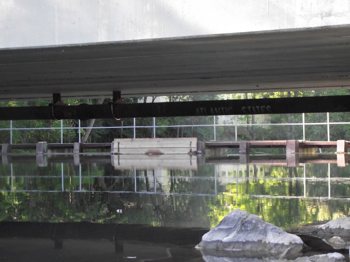
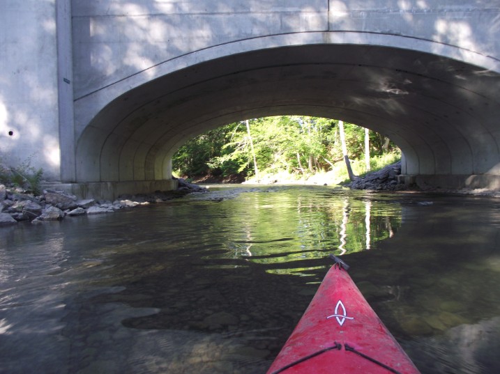
Mile 14. Time 12:20pm. This photo of the route 166 bridge was taken from the bank on a subsequent trip to the area after having replaced my camera.
At this spot is where I saw the first person since leaving Cooperstown. I asked the time and where I was, and made note of it.
This photo asl taken from the bank on a subsequent trip to the area. It is next to the bridge at route 166.
Here the river becomes lake-like; slow and deep. But it is still not very wide. It widens as it continues downstream. This is caused by the Colliers dam about 9 miles downstream. The dam forms Goodyear lake (more on this later)
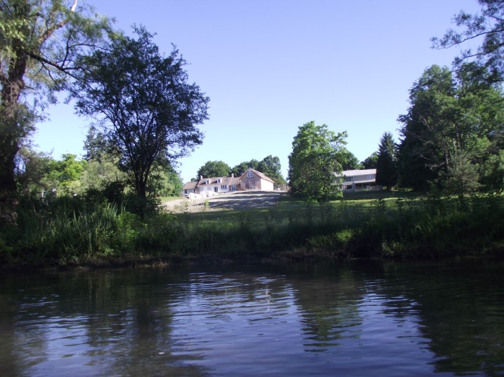
There are summer homes along the banks and I come accross several people on motor boats and a few paddlers. The boaters are very polite and slow down to crawl in consideration as they pass paddlers.
I struck up conversations with several people and I asked how far to the Bridge at Portlandville. I got many answers. Someone said I should be there in an hour, someone said 2, someone else said half hour. Bottom line: local people don't necessarily know the river well.
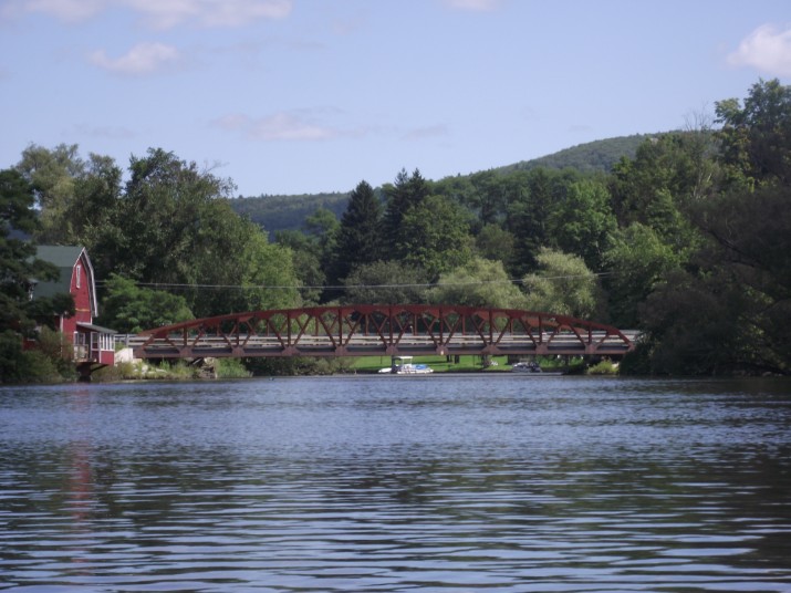
Finally!! The brige at Portlandville. This photo was actually taken from downstream on my next trip.
Mile: 21.5; Time: 2:50pm
It took me 7 hours and 20 minutes to complete this first leg. However, I could have done it in less time if I concentrated more on the paddling than in taking pictures and making notes. There is a Kayak rental place just below the Portlandville bridge (this is where I exited the river). A 20 something young lady there told me that she made the same trip the previous weekend in 5 hours. I think one should budget about 6 hours for this leg. Of course much depends on the speed of the river at that particular time. I made this leg in July when the amount of running water is at a low level
Go BACK TO THE TOP AND CHECK THE NEXT PAGE "PORTLANDVILLE TO COLLIERS DAM"