Date of paddle: October 4, 2018
Miles: 31 miles (this puts me at 243 miles paddled from the source at Cooperstown NY)
Altitude drop: 62 feet
Time to paddle this section: 5 hours and 40 minutes (including a half hour of lunch break)
Average speed: Approximately 5.5 miles per hour (this is just slightly less than my best average speed)
On the morning of October 3rd I left my home in Massachusetts and drove to Meshoppen, PA where I had paddled to on my previous trip (see Sugar Run PA to Meshoppen PA page). My goal was for the next day to paddle from there to the Apple Tree river access located 31 miles down stream. A distance of 27 miles by road. I decided to leave my boat at the Meshoppen river access and drive to Pittston where I would check in at the Fairfield Inn in Pittston PA. I have left my boat unattended before, but never overnight and I was a bit concerned that something may happen to it. I was not worried that someone would steal it, I see unattended boats everywhere, but there's always the possibility that some kids may come along and decide to just let it drift out into the river for a bit of mischief.
The next day I would call an Uber or get a taxi to take me from the Apple Tree river access to Meshoppen where my boat would be waiting. Before checking in to the hotel I drove to the Apple Tree boat ramp to see if there was cell phone access there. Actually I already knew that the cell phone access in that area was spotty as I had discovered that fact during my previous trip when I drove down to check out the area. I confirmed that there was no cell phone access and that eliminated Uber. Just a few miles south from the Apple Tree bot ramp the cell service is fine.
That evening I called a cab company to make arrangements for the next day and I was told to call back in the morning when I'm ready to go. And that's what I did the following morning. I told the dispatcher to have the cab meet me at the Apple Tree boat ramp as soon as possible as I was on my way there. I got to the boat ramp and waited, and waited, and waited. I could not call to see what was the hold up because there is no cell service there. So, waited some more. Finally I decided to drive down a couple of miles to where I could get cell service and called. But, I worried that the driver would get there while I was gone and would leave. The dispatcher told me that there was a driver on the way and should be there very soon. I rushed back to the boat ramp and sure enough a few minutes later the cab arrived.
The driver's name is Kym. A young lady in her early to mid 30's. I sat in the front passenger seat and told her where I was going, and about my project. She seemed interested and asked me a lot of questions. She told me she had grown up in Pittston and that she had always been afraid of the river. I asked why. She said "I guess it's because when you look down from a bridge you see the swirling waters below and it looks really scary. Like its alive and it could swallow you if you fell in" I'll write more about this fear in one of my upcoming updates; considering the history of the area I can understand why there may be a collective fear of the river.
I don't hear well from my left ear. It's not because of my age, although I have to admit that it has gotten worse. It is because many years ago a gun went off one inch from my ear and caused permanent damage. So, I turned my head in Kym's direction so that I could hear her better with my right ear. From time to time she too turned her head towards me and I noticed that she had the most unusual brown eyes that I have ever seen. Not the chestnut brown eyes of my Italian relatives that I am familiar with. But, a kind of light brown that reminded me of the grain of a plank of white oak. very pretty.
During our ride Kym asked me if I thought the government controlled us and manipulated us. I asked her what she meant, if she could tell me more. She mentioned something about conspiracies. Like, did I think the government flooded the inner cities with addictive opioids, and did the government start the AIDS epidemic. I told her that I did not think so. But, I said that I can understand why people feel that way. I told her that I think it is because politicians have been losing touch with the people. That they gravitate more and more to the people that provide money for their election campaigns and have come to realize that money is more important than votes because they can use it to confuse people into often voting against their own interests. And that brought me full circle back to Kym's question; does the government manipulate us. I guess in a certain way it does.
We arrived at the Meshoppen river access and thankfully my boat was there. I thanked Kym for the ride and she gave me her card and asked me to text her when I am am safely out of the river.
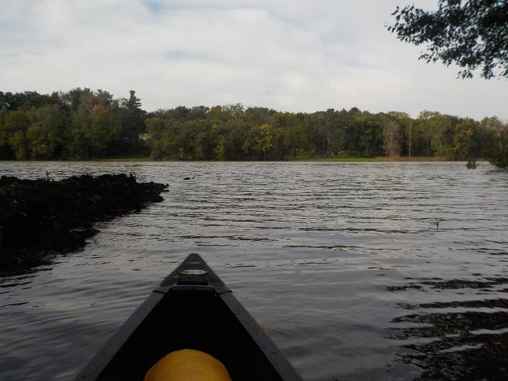
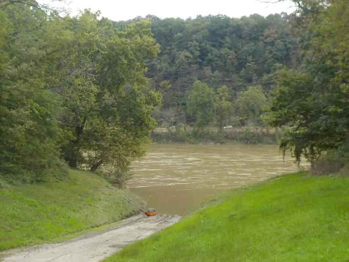
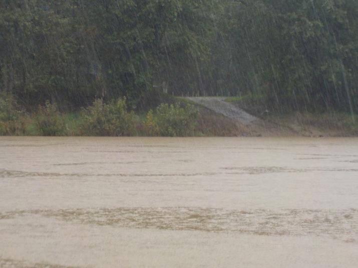
View from the Meshoppen boat ramp. At the ramp the water is still because it is sheltered in a little cove. But as I approached the main body of the river I could see the water flowing by like a conveyor belt, or like a moving sidewalk that you see at airports. The river was in flood stage and the current pretty strong. I left the boat ramp at 9:05. I had hoped to leave earlier because at that time of the year the days are much shorter than during the height of summer. And, if I should run into trouble I might not have time to resolve it and get to my car before it gets dark. This is an important consideration when planning a paddle. Make sure that you have plenty of daylight to complete it.
The view of the river upon leaving the Meshoppen river access area.
At 9:18 the first bridge came into view and I passed under it at 9:30. 25 minutes after leaving the Meshoppen river access area. The highway is route 87.
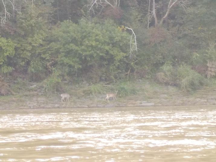
Two does munching on vegetation along the river bank. This is the time of year when their fur color turns from a reddish hue to a steely gray.
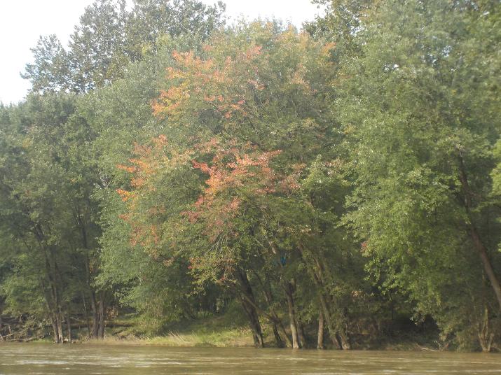
Orange and yellow leaves. Another sign of autumn .
A tree claimed by the flood. The summer of 2018 was especially wet. On my previous paddle (Sugar Run PA to Meshoppen PA) I wrote about some of the devastation caused by the heavy rains. During this current paddle the river was still very high and the current strong; that's why I made such good time.
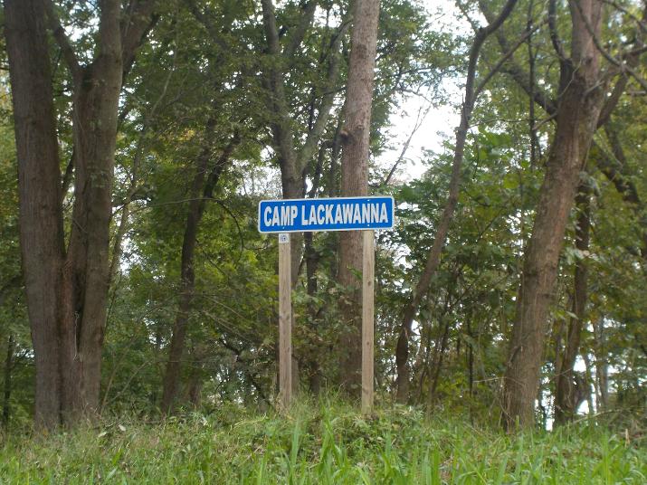
I reached Camp Lackawana at 10:12. One hour and seven minutes into my trip.
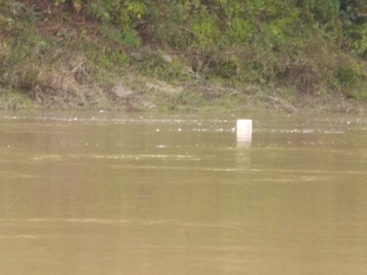
A floating empty plastic gasoline can. My companion for part of the trip. I eventually pulled it out of the river. I'll write more about why I took this photo on one of my upcoming updates; in the UPDATE section of the website.
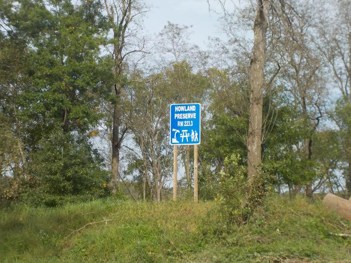
I reached Howland Preserve at 10:30. One hour and 25 minutes into my trip. The mile marker shows that I have traveled 9.4 miles. If I did the math right it means that I averaged 6.6 miles/hour for this section. This is pretty fast and possible only because the current was strong due to flood stage of the river. If I had paddled this section in October of 2017 I would have traveled a lot slower.
The river access ramp at Howland Reserve.
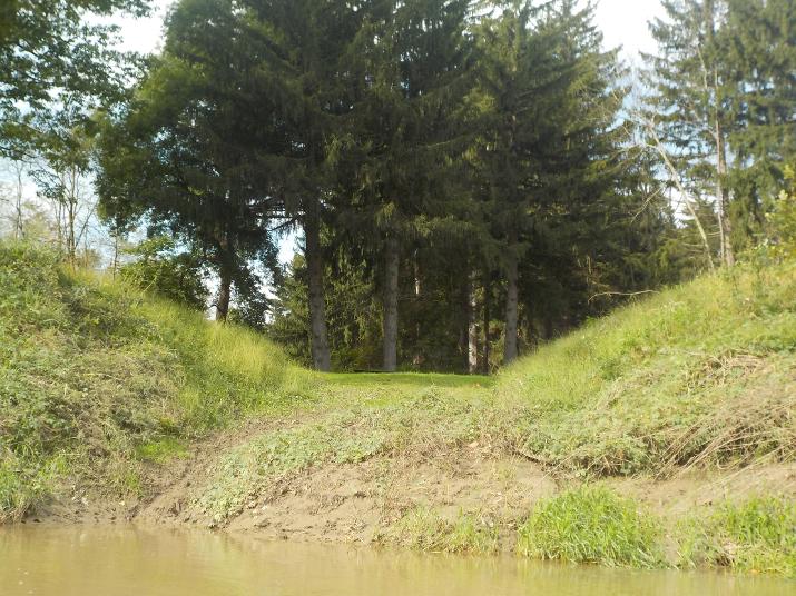
Just downstream of Howland Preserve there is a camper park with boat ramp. I took this photo 5 minutes after passing by Howland Preserve.
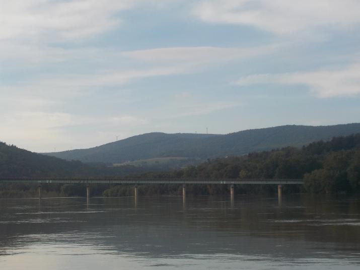
At 11:15 the Route 29 bridge in Tunhannock came into view. I passed under it at 11:25. 2 hours and 20 minutes into the trip.

This boat ramp is just before the Rt 29 bridge.
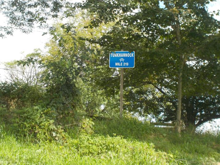
219 miles to the Chesapeake Bay. So far on this trip I have paddled 13.7 miles. It is 225 miles from the river's source at Cooperstown NY to this point. This means that I have paddled past the halfway point of the river's length. By the way, There is a Quality Inn at the bridge; on the right side a couple of hundred feet from the river. I know of a few people who have paddled the whole river all at once and have camped along the way. But, its always nice to spend a night or two in a hotel. There are many along the river. Perhaps at a later time I might add a page dedicated to hotels along the way.
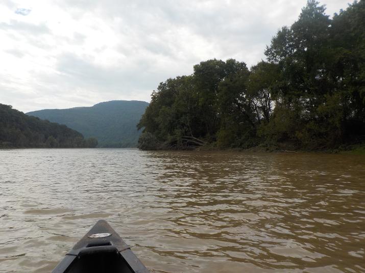
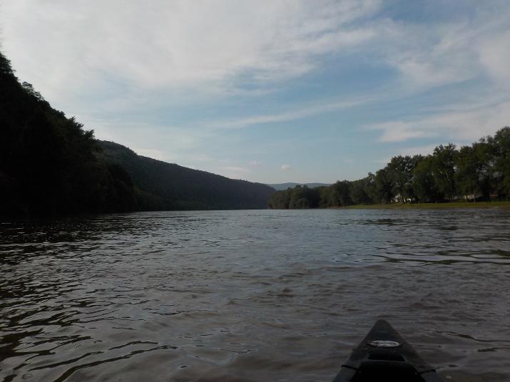
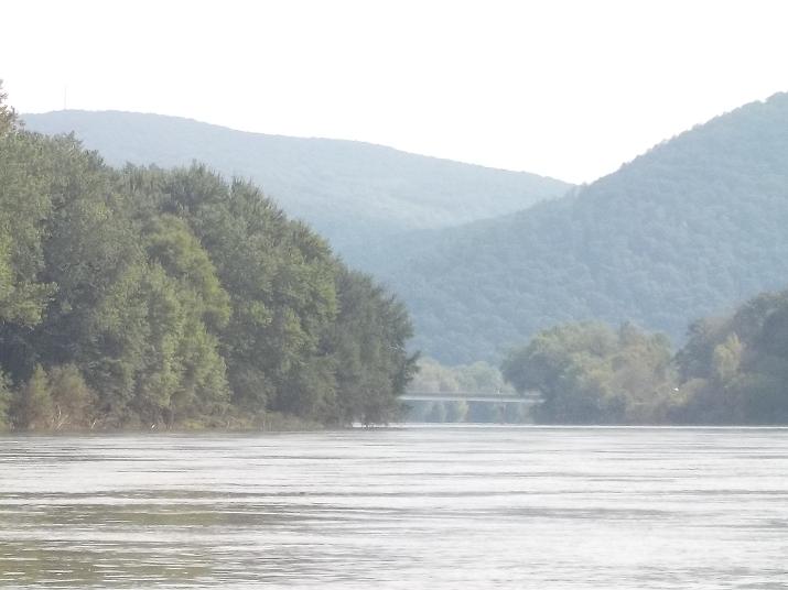
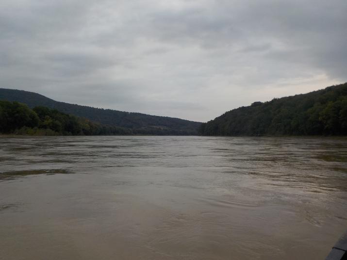
Just a view of the river in the Tunkhannock area.
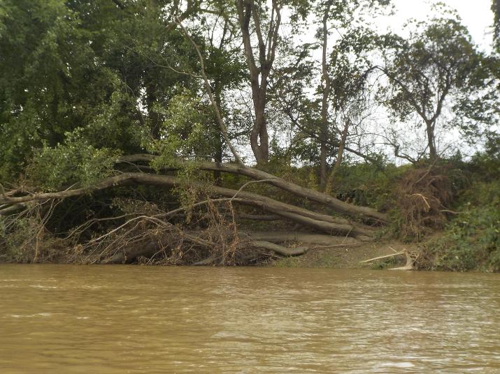
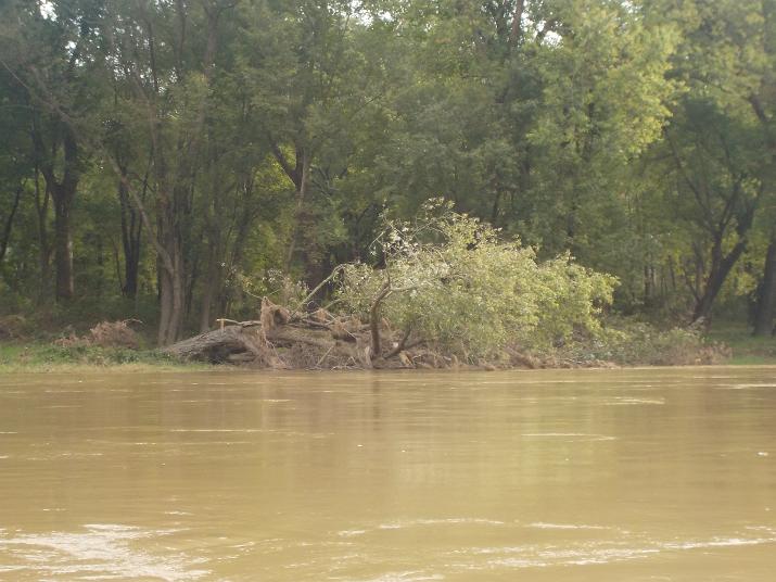
Another tree claimed by the flooding. Somewhere downstream of Tunhannock I encountered some really rough rapids and I felt I would be overturned. Somehow the boat managed to stay afloat and I got thru them. I wrote about it in one of my updates. Unfortunately, I did not make a good mental note of where exactly they are as there was no striking landmark around. So, keep your eyes, and ears open for it. And, if it looks like you may not be able to handle it just pull over and portage around it as you would when encountering a dam.
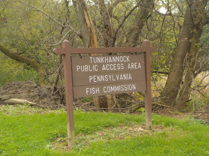
The Tunkhannock river access area is on the right bank. I reached this point just before noon and decided that I would stop here to eat lunch and stretch out. But, as soon as I got out of the boat I was swarmed by mosquitoes and I decided to get back in the boat, paddle out to the middle of the river(no mosquitoes there) and drift along while eating my lunch and resting. Its notable to write that this was the first time that I had problems with mosquitoes. Had not been a problem on any of my previous trips.
This is the boat ramp at the Tunkhannock river access area. Its too bad that I was chased away by the mosquitoes. I would have liked to stretch out in the soft grass
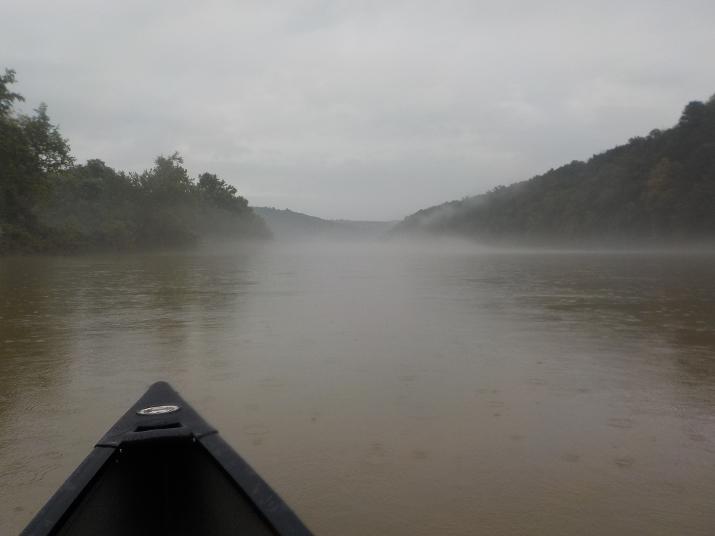
A view of the river as I drifted; eating my lunch and resting
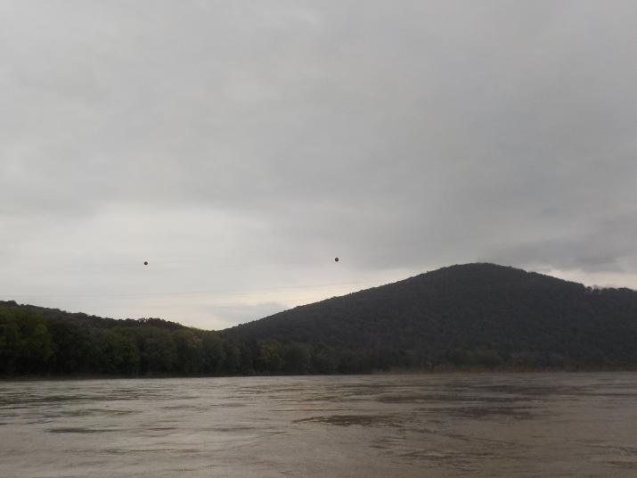
I passed under these power lines around 12:35.
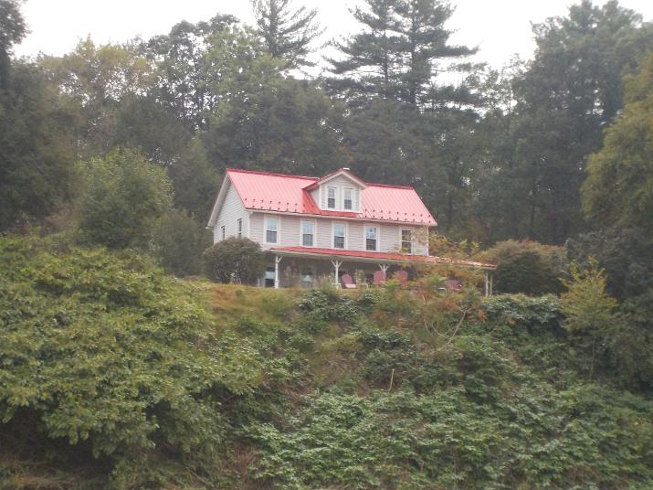
and passed by this distinctive house with orange colored roof just a few minutes later.
At 1:00 I passed by this boat ramp. Just a few minutes earlier it started to rain and it continued for the rest of the trip. I put on my rain jacket and kept my upper body dry for the whole time, but my legs were soaked and eventually the water seeped down into my seat and I started to feel a bit uncomfortable. Fortunately, the ambient temperature was on the warm side for Oct. 4 and being wet was not as much of a problem as it would have been if it was on the cold side
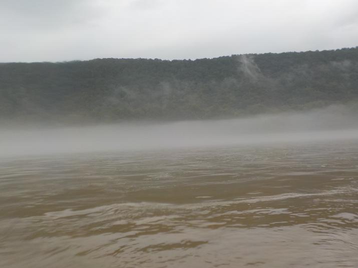
But, rain brings cold air, and cold air does not hold as much water vapor as warm air. As the warm air just above the the river is cooled the excess water vapor condenses around condensation nuclei (dust particles, etc) and mist begins to appear.
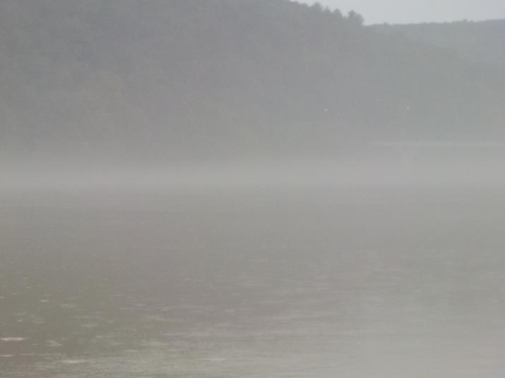
The visibility gets worse and presents me with a problem. Do I stay in the middle where the current is fastest, but risk the danger of getting hit by a power boat. Or, do I hug one of the banks where there is very little risk from power boats, but get no help from the current (because the current is weakest closest to the banks). It was a weekday and I had not seen any power boats all day. So, I decided to stay in the middle. But, there is a lot of power boat traffic on weekends and would have likely made a different decision if I was paddling on a weekend or holiday.
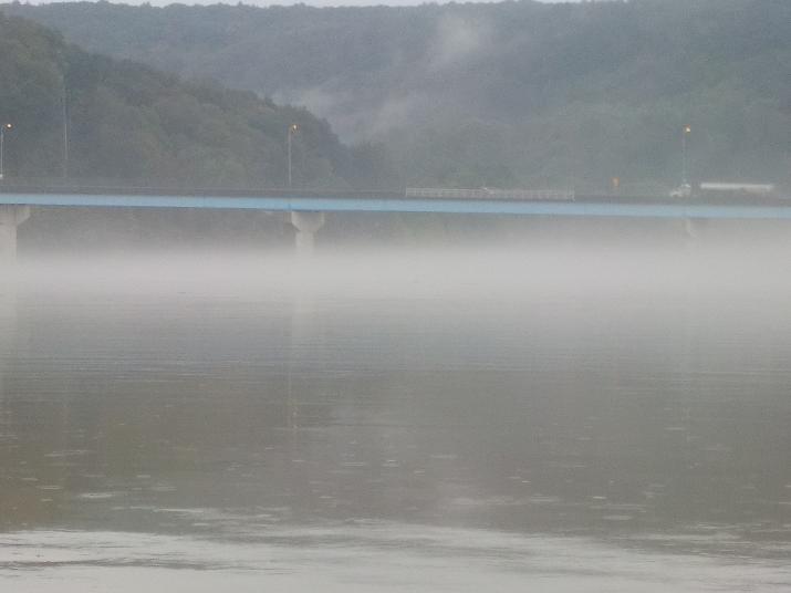
The Rt 92 bridge in Falls PA came into view at 1:35 and I passed under it at 1:40. Just past the bridge, on the right side of the river there is a kayak rental place (Susquehanna Canoe and Kayak Rental) Their website is www.kayaktheriver.com you can't see it from the river; it is set back quite a ways. maybe the length of two football fields. If you are driving north on Rt 92 you can find it on the right side just before you get to the bridge. I stopped there during one of my road exploration drives, but it was closed. It was on a weekday and I imagine like most kayak rental places their busy time is on the weekends.
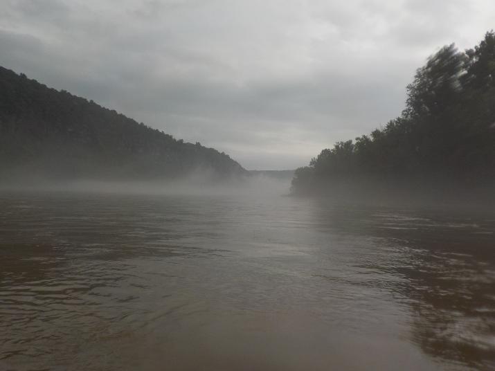
More mist
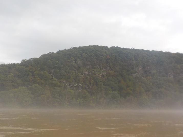
These cliffs are a bit downstream from the Rt. 92 bridge.
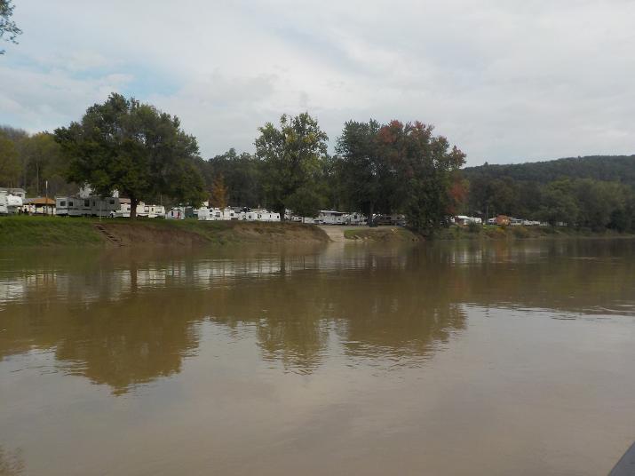
This camper park is about 8 minutes downstream from the Rt 92 bridge.
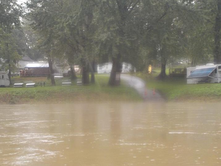
There is a boat ramp at the camper park
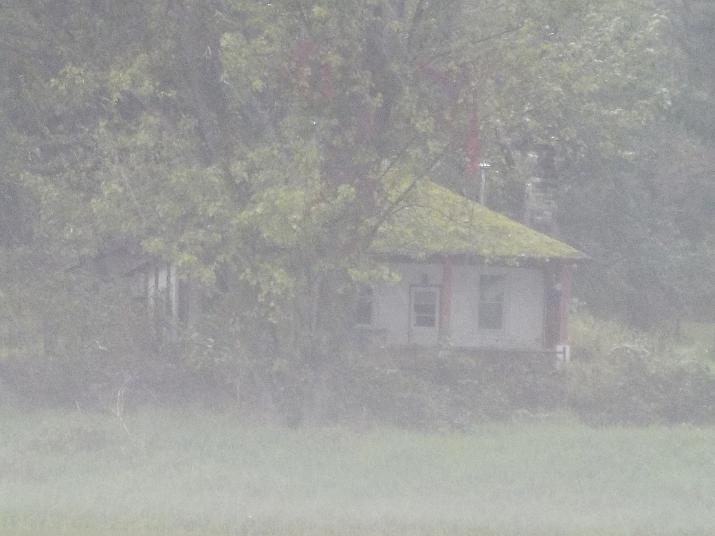
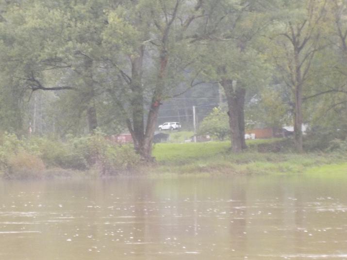
Because of the mist its difficult to see the thick layer of moss on the roof of this house, It looked really cool. Its about 15 minutes downstream from the Rt 92 bridge.
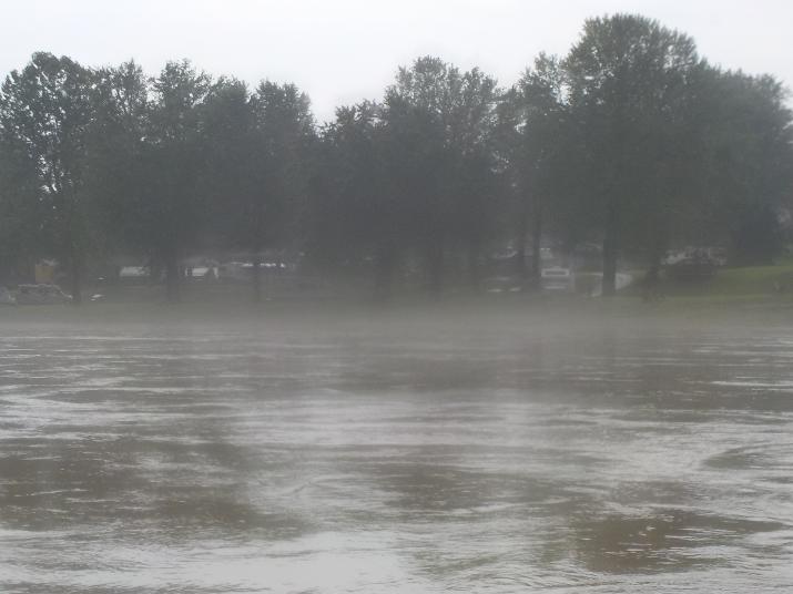
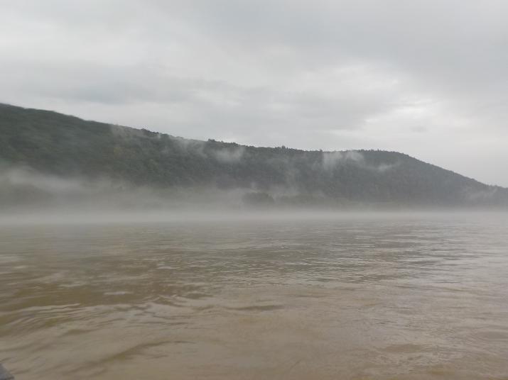
Just more mist
it stopped raining and the mist began to rise and dissipate somewhat. this is the last photo of mist; I promise
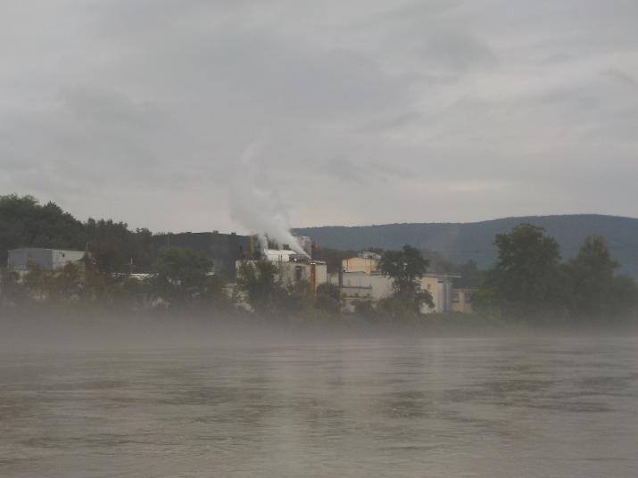
I reached this factory at 2:35. It is just 10 minutes before the Apple Tree river access at Harding. My destination for this day. The factory is on the left side, the river access is on the right side. Start looking for the ramp.
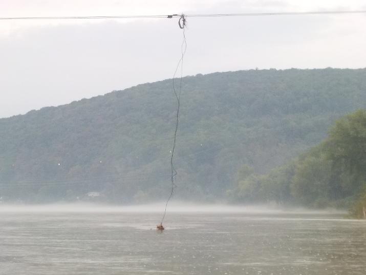
In the area of the factory a wire stretched from one side of the river to the other, with one piece of wire extending down to the water. Not sure what this is about, but wanted to show it as a landmark as the boat ramp is coming up.
Finally the Apple Tree river access parking lot comes into view.
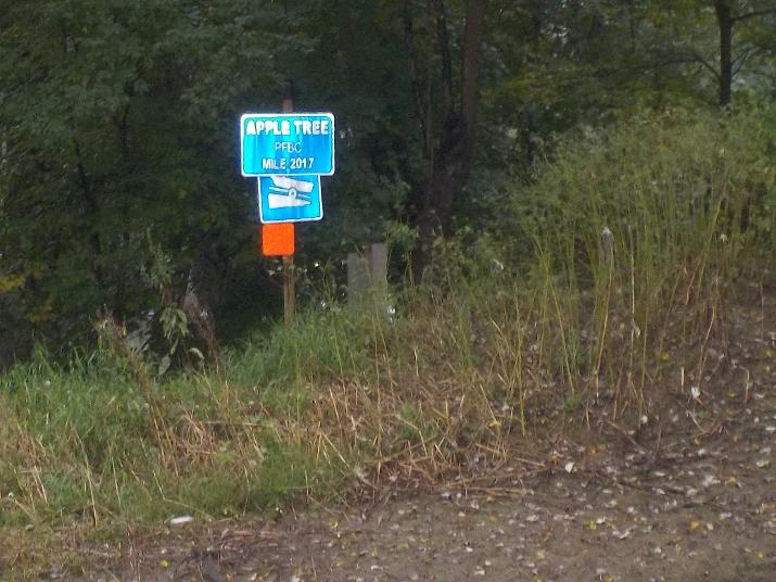
201.7 miles to the Chesapeake bay. this means that I have paddled and documented 242.3 miles of the Susquehanna.
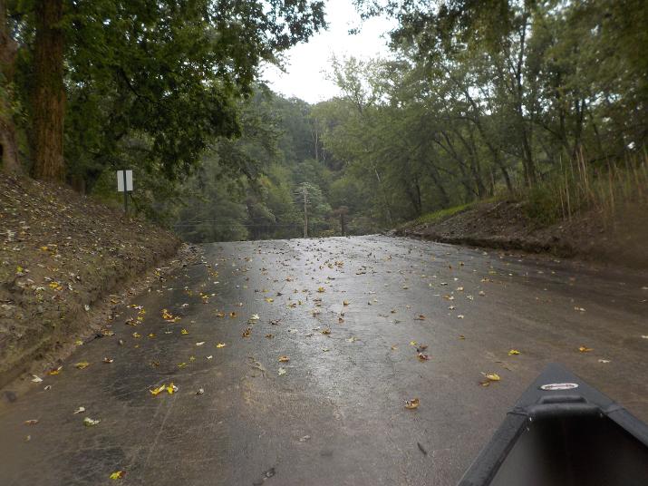
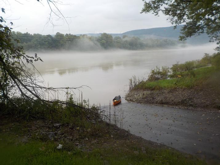
The Apple Tree boat ramp. I reached it at 2:45. The trip took me 5 hours and 40 minutes.
Just a view from the parking lot before loading up the boat and driving to New Albany where my brother was waiting at the cabin. This was the last paddle of 2018. I'm looking forward to the 2019 season as I plan to finish the northern branch (about 70 miles or so). The northern branch connects to the western branch at Sunbury PA.