Date of paddle: June 18, 2019
Distance: 16 miles (this puts me at 259 miles paddled)
Time to paddle: 4 hours
Altitude drop: 21 feet
I drove down from my home in Mass on Monday the 17th of June, and that night I stayed at my brother's cabin in New Albany PA. My brother Tom was already there when I arrived and he offered to take me to the river the next day. We made a plan for the next morning to drive to Wilkes-Barre (to the Hanover Township river access ) where I would leave my car, and then he would drive me and the boat on his truck to the Apple Tree river access in Harding PA; where I had ended my last paddle in October of 2018.
The weather report that I had seen for the area called for 40% chance of rain. But, I had decided that I would paddle that day rain or shine. Paddling in the rain is a challenge. Its difficult to stay dry even when wearing rain gear; camera lens gets fogged up; its difficult to use a phone and camera charger for fear of introducing moisture into the wiring. But, I try to be philosophical about it. I view this river adventure of mine as a kind of metaphor for life. As we journey thru life we don't know what challenge we will meet. The only thing we can do is to handle as best we can whatever life throws at us.
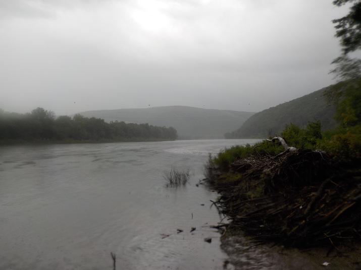
That 40% chance turned into 100% of heavy rain. It rained all night and when we left the cabin to make the 1.5 hour drive that morning it was still raining and rained the whole time we drove.
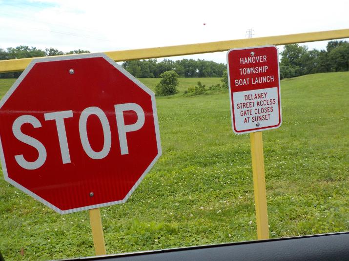
When we arrived at the Hanover Township river access we found the gate closed. My plan was to leave my car in the parking lot, but now I had a decision to make. I could figure out some other exit point where I could leave my car, or just park it in the street. The next exit point that I knew of was about 6 miles down river. But, I did not know what to expect there because I had not explored the area by car. Also, it was starting to get late in the morning and I did not want to add another 6 miles to my paddle. I decided to park in the street, but I was not happy about it because it was a fairly high density area and did not know if it was ok to park there. But I did not see any "no parking" signs so I left the car in the street and hopped in my brother's truck for the ride to Harding.
It was still raining when my brother dropped me off at the Apple Tree river access in Harding. I put my life jacket over my rain jacket and then a poncho over that. I got in the water at 10:54
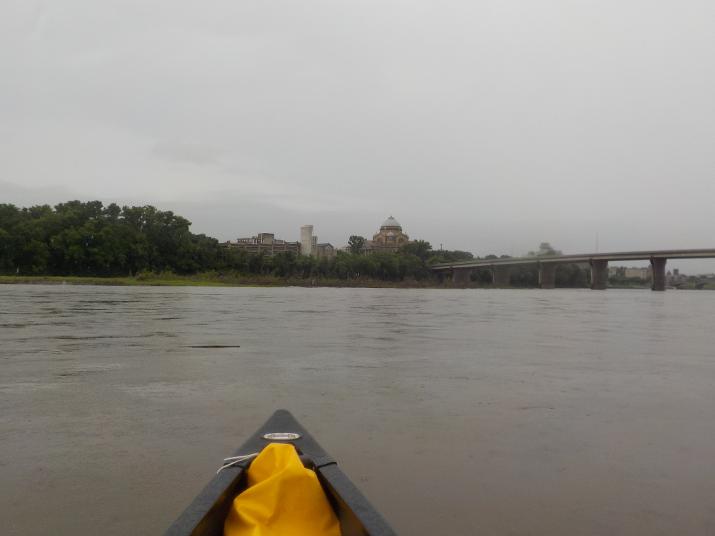
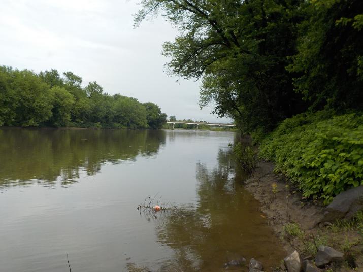
Looking down river from the Apple Tree river access ramp
A couple of minutes later it stopped raining. I kept the rain jacket and poncho on thinking that it would start raining again, but after a while I decided that it had stopped for good. I took off the poncho and I would have left the rain jacket on under my life jacket if it had been cooler. But it was muggy and I was starting to get hot so I decided to take it off. I had to take off my life jacket in order to take off the rain jacket. So, I pulled over to the side and did it in a little sheltered cove away from the current.
I took this photo at 11:11, 17 minutes into the trip. Way off in the distance you can see a row of homes.
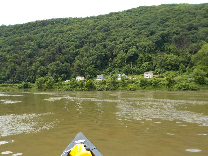
I pulled along side those houses at 11:31, 21 minutes after spotting them from afar. One thing that I have noticed now that I am this far down river is that the distances from one bend to the next are very far from each other. The river channel straightens out the farther down river I go.
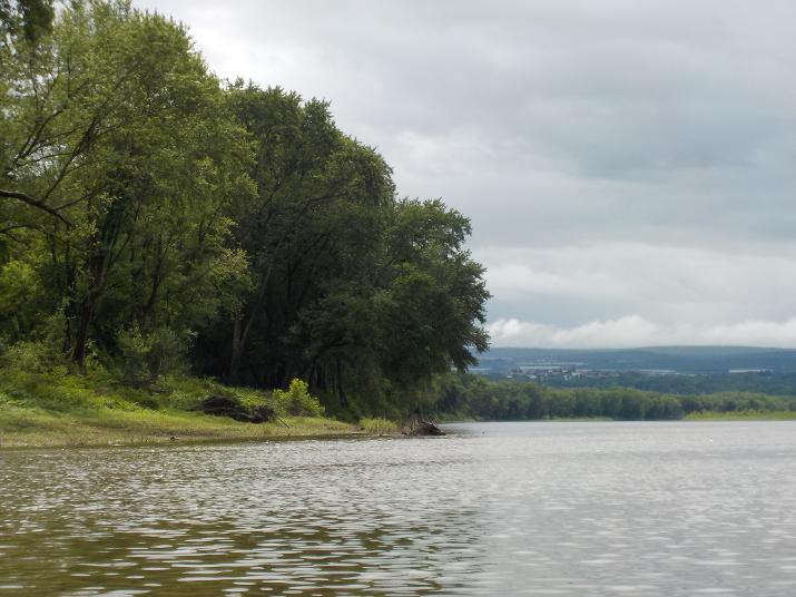
As soon as I turn the bend I can see the city of Pittston in the far distance
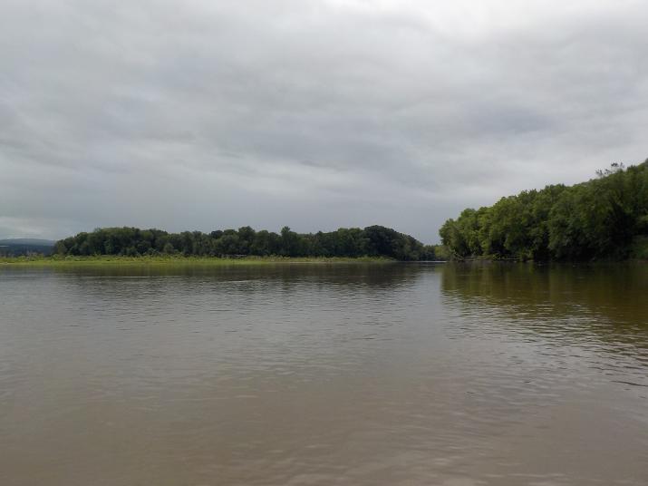
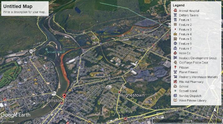
At 11:41 I took this photo of a large island. I looked it up on Google Earth and it is unnamed.
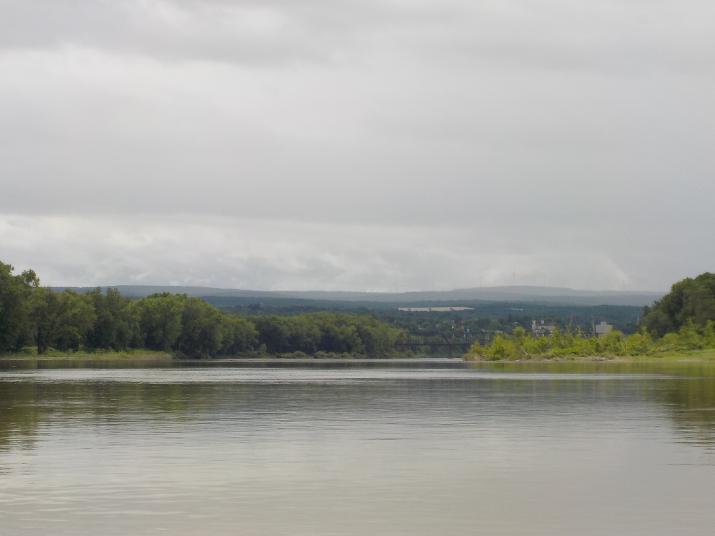
A few minutes later the first bridge comes into view. It is a rail road bridge. Immediately after going under the first bridge stay to the left (Scovell Island will be on the right). If you don't stay to the left you will miss the confluence of the Lackawanna river with the Susquehanna. If you paddle this section you won't want to miss it.
And this is why you don't want to miss it. (check out the orange streak entering the Susquehanna from the Lackawanna). This may be the most dramatic orange streak, but not that unusual in coal country. This particular one is commonly referred to as the Old Forge Borehole. In 1962 a mining company drilled the borehole to alleviate a drainage issue in the mine not realizing that the water to be released into the Lackawanna would be coming thru an Iron Oxide deposit that would turn it orange. There is a plan underway to pipe the water up to a treatment tower where the iron oxide would be removed and the clean water allowed to flow back into the Lackawanna and eventually into the Susquehanna. The orange streak has been flowing into the Susquehanna for almost 50 years. I wonder how long it will be before the plan is put into action.
The Lackawanna is a beautiful river upstream from the borehole. But, downstream from it the river is all but dead. This disaster, more than anything else I have observed brings home the importance of proper industry regulations. At the time of the incident companies could do just about anything they wanted. I am hopeful that this is a reminder to my readers that we rollback regulations at our peril.
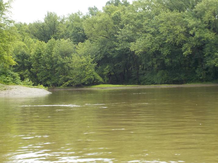
This is the confluence of the Lackawanna with the Susquehanna. The flood waters from heavy rain of the previous night ride above the orange stain that would normally be visible. But looking down from my boat I could see a river of orange flowing just a couple of feet below the surface, the orange color was muted by the muddy flood water, but I could see that it was clearly orange.
Everything along the bank is stained orange
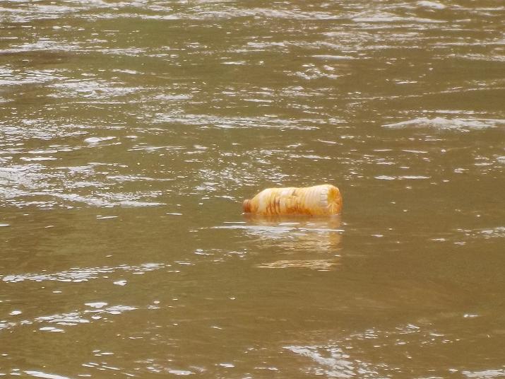
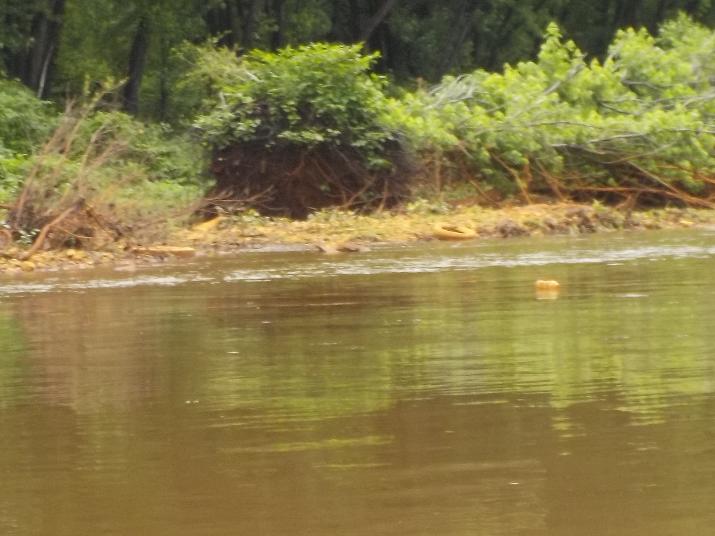
Orange stained bottle
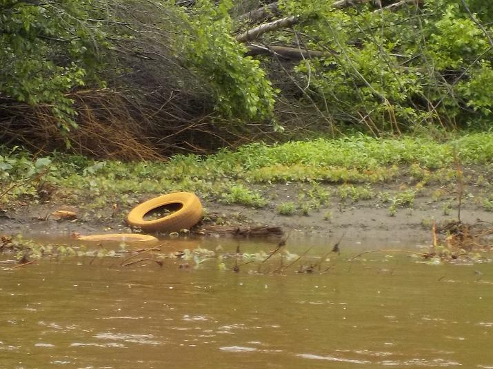
Orange stained tires.
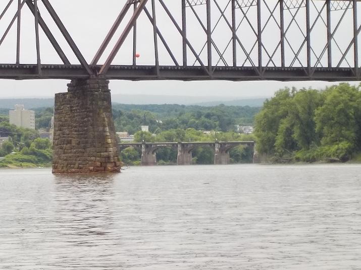
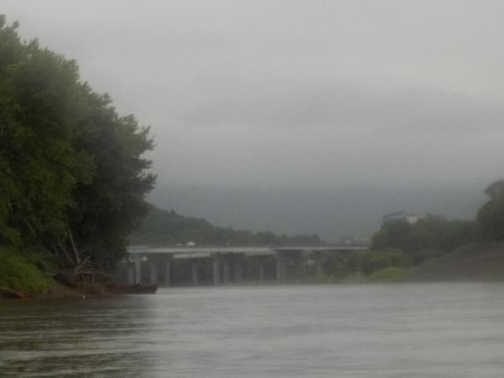
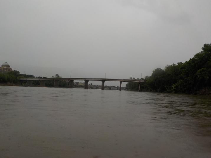
The bridge in the foreground is the second railroad bridge that I passed during the trip, and the bridge in the distance is the Fort Jenkins bridge in Pittston. I took this photo at 11:52. About one hour into the trip.
More orange staining along the bank. I took this photo of a boat ramp in Pittston. I had checked it out on a previous road trip and I do not recommend using it because there is a gate at the top. On the day I drove to it the gate was in the open position, but no way to know how long it stays open. My guess is that they close it at dusk. The ramp is located on the left bank as you look downriver, and it just before the Fort Jenkins bridge
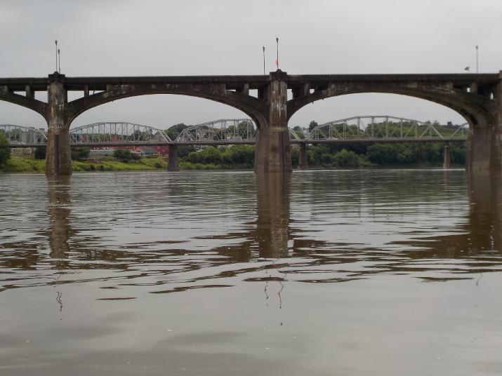
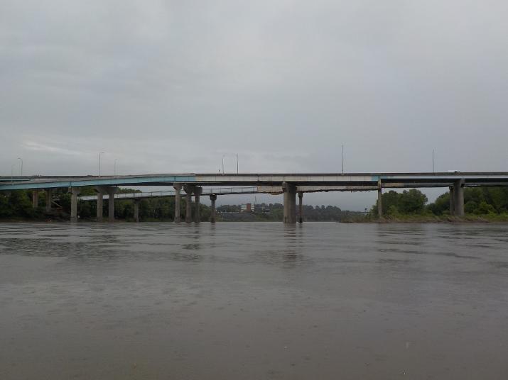
The Fort Jenkins bridge in the foreground and the Water st. bridge in the distance. I took this photo one hour and 10 minutes into the trip.
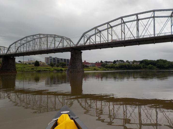
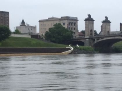
The Water Stbridge with Some Pittston buildings in the distance
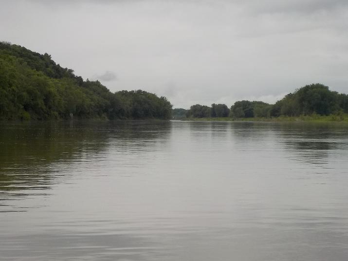
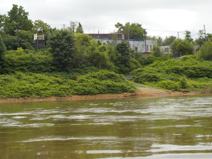
Once I get thru Pittston nature comes back to the river.
1 hour and 40 minutes into the trip I reach the 8th st bridge in Wilkes-Barre PA.
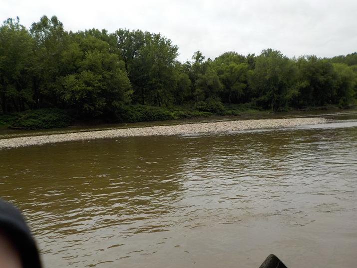
a few minutes after passing under the 8th st. bridge I encountered this sand bar that stretched pretty far across the river. Even this far downriver the Susquehanna can be pretty shallow. Although I did not scrape bottom, my paddle hit the rocks below the surface as I dipped them in the water.TO BE CONTINUED
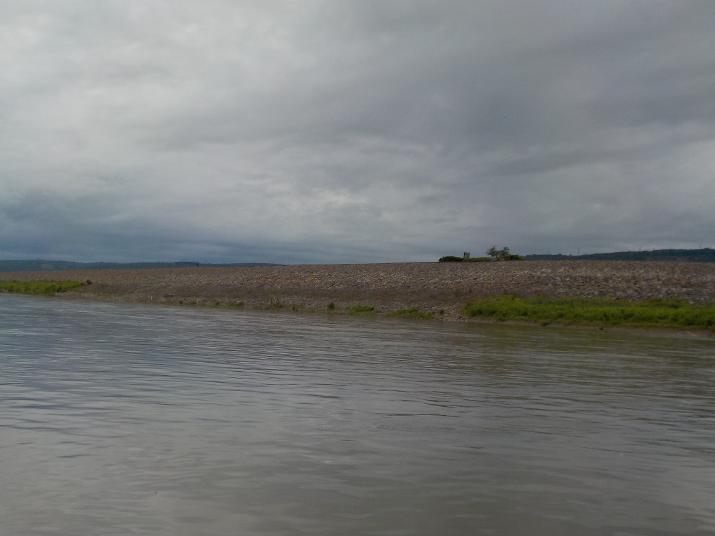
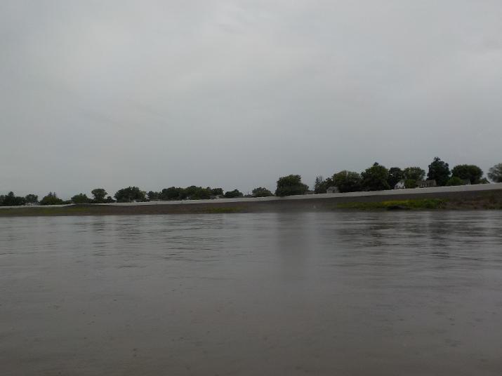
2 hours and 50 minutes into my trip I come to the first of many berms (Levies)that were erected after the 1972 hurricane that devastated the region and almost put an end to the city of Wilkes-Barre (more on this later)
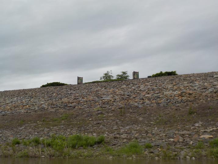
I could see that at the top of the berm was some kind of public information boards and I was going to check them out. But a man was passing by on the walkway above and we started a conversation. His name is Joe and he gave me a lot of good info on the area. He told me about the 1972 hurricane and explained that the berms were erected to keep that kind of disaster from happening again. He also told me that the monument above was erected not for the hurricane but for another disaster that happened on July 3, 1778; The battle of Wyoming. Also known as the Wyoming massacre. I'll write about it when I do the history section.
I wished I had more time to talk to Joe, but we exchanged phone numbers and I text him once I complete the trip. Perhaps some day we can get a cup of coffee and have another chat.
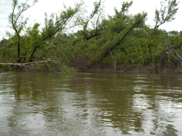
Trees bent by floods
A walking trail follows the river on top of the berms. A very beautiful human-made bank that offers miles of peaceful recreation. I observed several people walking with dogs, in pairs, and alone.
In some areas a wall adds height to the berms and protects the neighborhoods on the other side. One disadvantage is that the river cannot be seen from the roadway or sidewalks...
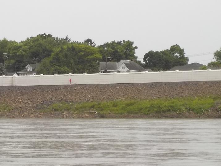
...But there is a walking trail on the riverside of the wall that can be enjoyed by locals; as this woman walking her dog.
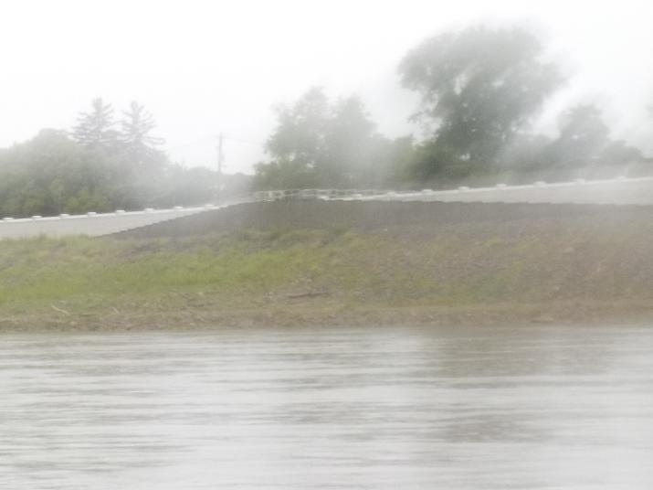
This is not a good photo because it started raining again and the camera lens got wet and foggy. But, I want to include it because it shows a ramp that allows access to the trail. Users can go up the ramp from the street side and down the ramp to the trail. I don't know how far apart these ramps are located from each other. But. I imagine that they are placed at strategic locations to maximize access.
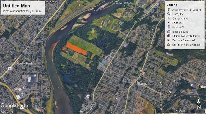
I passed a second area with orange stained banks. I did not know what it was at the time. Here is a satellite image from Google Earth revealing that it is coming from a retaining pond. I don't know its history, but it is obvious that its Iron Oxide contamination.
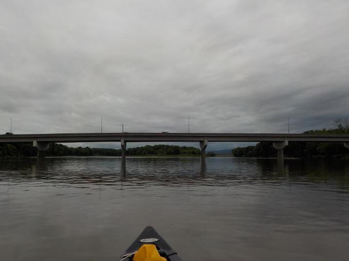
The route 309 bridge comes into view at 1:14. About 2 hours and 20 minutes into the trip
I go under the bridge about 15 minutes later. As you can see its still raining
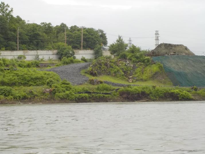
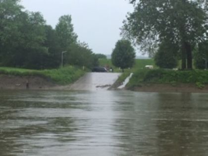
Shortly after going under the route 309 bridge I noticed this gravel ramp. I don't know if its a public access. I looked at the Google earth satellite image and I could not determine if it is. It looks more like an industrial site.
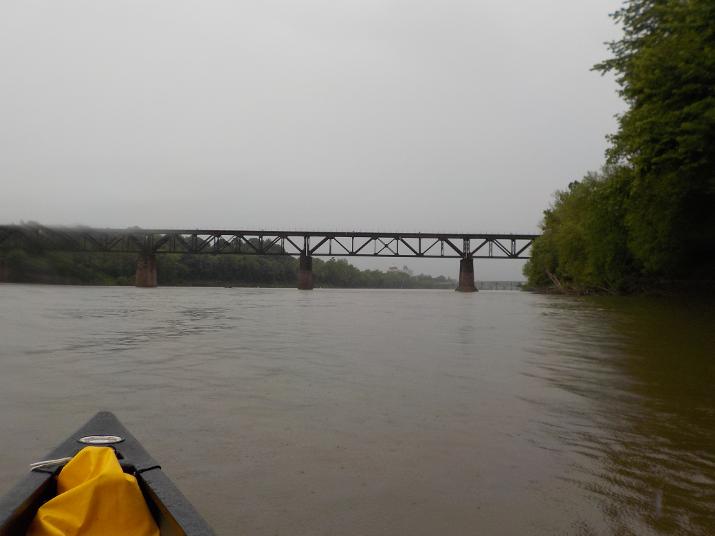
I passed under this railroad bridge about 12 minutes after passing under the Route 309 bridge.
Wilkes-Barre and the Pierce St, bridge. I took this photo at 1:53. 3 hours into the trip.
A better view of the Pierce St. Bridge. I passed under it around 1:56
My camera battery died and so while recharging I used my iphone to take this and the next few photos. This one is of Wilkes Barre and the Market St. Bridge. I took this photo at around 2:00
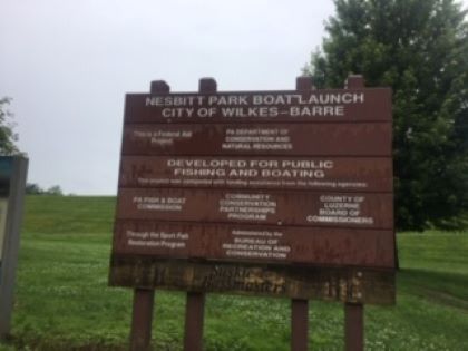
Just before the Market St. Bridge, on the right bank is the City Of Wilkes-Barre Nesbitt Park Boat Launch. I got out of the boat here and stretched my legs a bit. its a very nice park with lots of parking space and a row of portable toilets. Sadly they were all locked :(
A berm and wall with a railroad bridge in the distance. I took this photo at 2:20
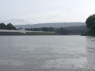
Way off in the distance the Carey Ave bridge comes into view. I took this photo at 2:40. The Hanover Township boat ramp (my objective for the day) is just after the bridge, on the left bank. I passed under the bridge at 2:46.
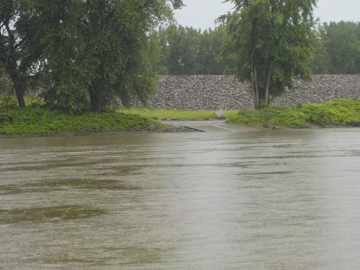
My camera's battery was sufficiently charged and I was able to take this photo of the Hanover Township boat ramp at 2:48. Just shy of 4 hours after leaving the Apple Tree Boat ramp in Harding.
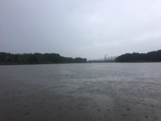
A view of the Carey ave bridge looking back from the boat ramp. In order not to miss the ramp you may want to stay to the far right as you approach the bridge. There is an island that runs from the bridge to just before the boat ramp. If you are on the right of the island and not paying attention you may pass by the boat ramp.
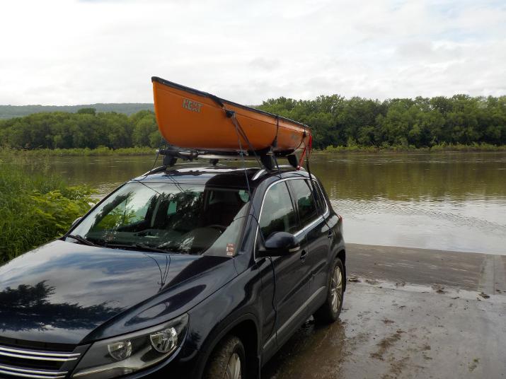
All done for the day.